What is recorded here
Ballybrassil holds a circular earthwork thirty-three metres across, bounded by a one-and-a-half-metre bank and a shallow southern ditch. It sits in working farmland on a south-facing slope, with vegetation thickening the western, northern and eastern edges of the buried boundary. The shape is small enough to walk in moments yet large enough to exclude ordinary doubt.
In tillage, on S-facing slope. Circular ara (c. 33m N-S; c. 33m E-W) enclosed by earthen bank (H 1.5m), with shallow external fosse to S. Area of fosse heavily overgrown to W, N and E.
The above description is derived from the published 'Archaeological Inventory of County Cork. Volume 2: East and South Cork' (Dublin: Stationery Office, 1994). In certain instances the entries have been revised and updated in the light of recent research.
Date of upload/revision: 14 January 2009
The monument record does not grant public access. Check the route and ask the landowner before entering private land.
- What survives
- Recorded monument
Places near here
 LisArchaeological place · 15 yd
 Glenmore StrandBeach / strand · 385 yd
 Old barnRuins · 386 yd
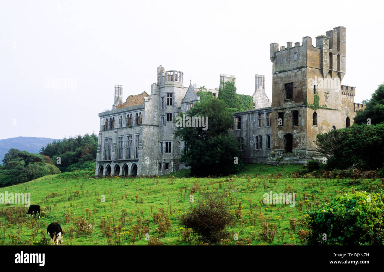 RuinRuins · 513 yd
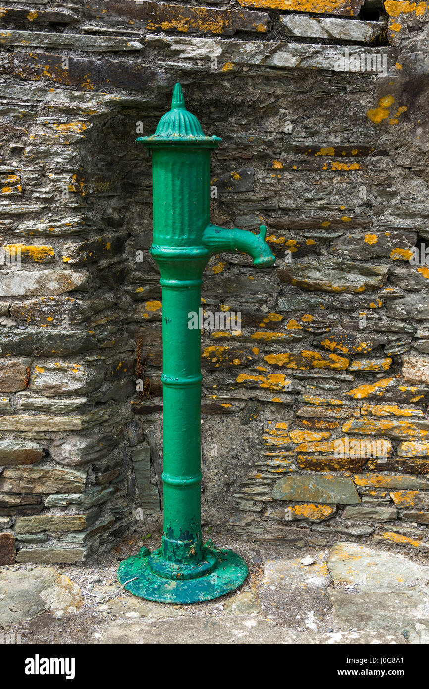 Water PumpHeritage attraction · 743 yd
 Site of old schoolHeritage attraction · 1046 yd
 Marloag WoodsWood · 1155 yd
 Church (Site of)Church · 1267 yd
 CastleCastle, unclassified · 1459 yd
 Japanese walnutJapanese walnut · 1675 yd
 Castle (in Ruins)Castle, tower house · 1.1 mi
 Great IslandIsland · 1.4 mi