What is recorded here
In pasture, on gentle SW-facing slope, just below top of hill. Circular area (diam. c. 30m) enclosed by earth-and-stone bank encased within dry-stone wall which acts as field boundary (Wth 1.8m; int. H 1.05m; ext. H 1.05m). Dry-stone wall denuded NNE->E exposing earth-and-stone bank at its core. Wall is mostly ruinous with loose stone scattered around base. Gap (Wth 8m) in wall at ESE, flanked by stone pillar at S side. Interior is covered by trees. Enclosure incorporated into E side of small field with shed and house c. 70m to E. Dry-stone field boundaries abut enclosure at NNE and SSE.
Compiled by: Denis Power
Date of upload: 26 August 2011
The monument record does not grant public access. Check the route and ask the landowner before entering private land.
- What survives
- Recorded monument
Places near here
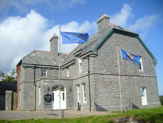 Rathgoonan Housecountry house · 685 yd
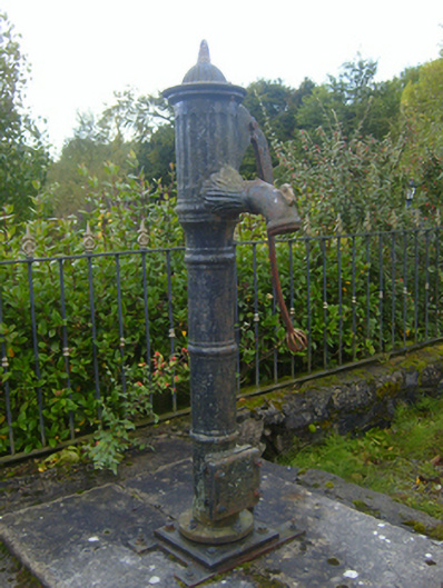 water pumpwater pump · 806 yd
 Mound in Ballyegny BegMound · 1085 yd
 IndicatedFairy fort / earthen ringfort · 1142 yd
 St. Luke's WellSpring · 1400 yd
 CahermoyleCastle, unclassified · 1.0 mi
 Castle (in ruins)Castle, tower house · 1.1 mi
 St. Kieran's WellSpring · 1.3 mi
 European ashEuropean ash · 4.0 mi
 Limerick GreenwayWalking route · 6.3 mi
 Gammarel PointHeadland · 7.3 mi
 Monterey CypressMonterey Cypress · 7.7 mi