What is recorded here
Located on a steep NW-facing slope of Patrickstown Hill on the N side of Slieve na Calligh ridge. This is a circular grass and scrub-covered area (diam. c. 30m NE-SW; 28.5m NW-SE) that slopes down steeply to the N. It is defined by an overgrown earth and stone bank (Wth of base 4.75-7m; int. H 0.3m at NW to 0.8m at SE (upslope); ext. H flush at SE to 1.8m at NW), with traces of a fosse, largely represented as a berm (at NW: Wth 8m) NW-E-S. The entrance (Wth of base 1.5m) with boulders on either side is at W. A sunken area (dims of top 3.5m NW-SE; 2.6m NE-SW; D 0.3m) just NW of the centre could be a hut-site. Cashel (ME009-069----) is c. 90m to the S.
The above description is derived from the published 'Archaeological Inventory of County Meath' (Dublin: Stationery Office, 1987). In certain instances the entries have been revised and updated in the light of recent research.
Compiled by: Michael Moore
Date of revision: 1 November 2018
The monument record does not grant public access. Check the route and ask the landowner before entering private land.
- What survives
- Recorded monument
Places near here
 Indicated SheepfoldFairy fort / stone ringfort · 121 yd
 Cairn VArchaeological place · 871 yd
 Loughcrew Megalithic TombsHeritage attraction · 882 yd
 Slieve Na CalliaghMountain / peak · 899 yd
 Oliver Plunkett memorialMemorial · 1259 yd
 Earthen TumulusCastle, motte · 1701 yd
 LoughcrewMegalithic tomb cemetery · 1.2 mi
 Carnbane WestMountain / peak · 1.3 mi
 Drumlerry WetlandForest · 1.3 mi
 C11Named rock · 1.3 mi
 CastleCastle, unclassified · 1.4 mi
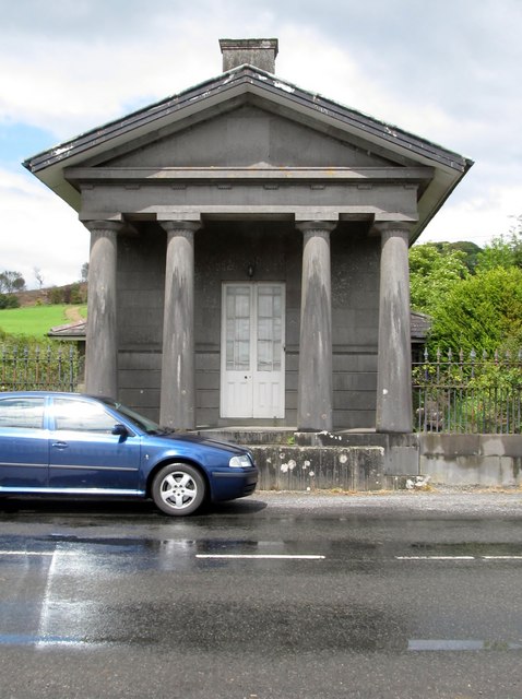 Loughcrew Housegate lodge · 1.8 mi