What is recorded here
Located on a broad, low ENE-WSW ridge. The cropmark of a circular area (int. diam. c. 45m N-S; c. 45m E-W; ext. diam. c. 55m E-W) defined by a prominent inner fosse (Wth c. 3-4m) and a lighter outer fosse is only visible on Google Earth (14/07/2018). The fosses appear to be cut at S by the outer fosse of the ecclesiastical enclosure (WX011-011004-), and only the inner rath fosse is lightly traceable S of this. At the W edge the rath is cut by a N-S drain that is marked on the 1839 and 1902 editions of the OS 6-inch map, but there appear to be entrances through the inner fosse at WNW (Wth c. 4m) and NW (Wth c. 5m). The cropmarks were first reported by Jean Charles Caillère and were also noted by Simon Dowling.
Compiled by: Michael Moore
Date of upload: 17 September 2019
Amended: 28 February 2020
The monument record does not grant public access. Check the route and ask the landowner before entering private land.
- What survives
- Recorded monument
Places near here
 Ecclesiastical enclosure in Ballinclare (gorey By., Balloughter Ed)Ecclesiastical enclosure · 67 yd
 Toome ChurchRuins · 104 yd
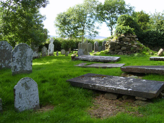 graveyard/cemeterygraveyard/cemetery · 111 yd
 Enclosure in ClonhenretEnclosure · 1695 yd
 Milshoge RockMountain / peak · 1.5 mi
 Camolin WoodForest · 2.3 mi
 Boley HillMountain / peak · 2.8 mi
 Giants BedNamed rock · 3.1 mi
 Barnadown WoodWood · 3.3 mi
 Saint Brigid's WellSpring · 4.5 mi
 Blue SchoolMemorial · 4.6 mi
 1798 MonumentMemorial · 4.8 mi