What is recorded here
Located on a level, low-lying landscape. The cropmark of a circular enclosure (diam. c. 25-30m) defined by a single fosse feature is visible on aerial photographs (ASIAP (7) 5-7). It is cut by field drains and the perimeter may be slightly truncated by an E-W field bank at N.
Compiled by: Michael Moore
Date of upload: 11 October, 2013
Amended: 1 May, 2014
The monument record does not grant public access. Check the route and ask the landowner before entering private land.
- What survives
- Recorded monument
Places near here
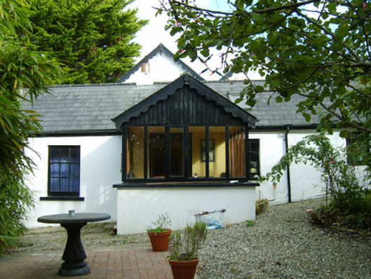 Ferny Hillhouse · 599 yd
 Saint Enoch's Church (Killinick)church/chapel · 879 yd
 Ballyrane Castle (in ruins)Castle, tower house · 1315 yd
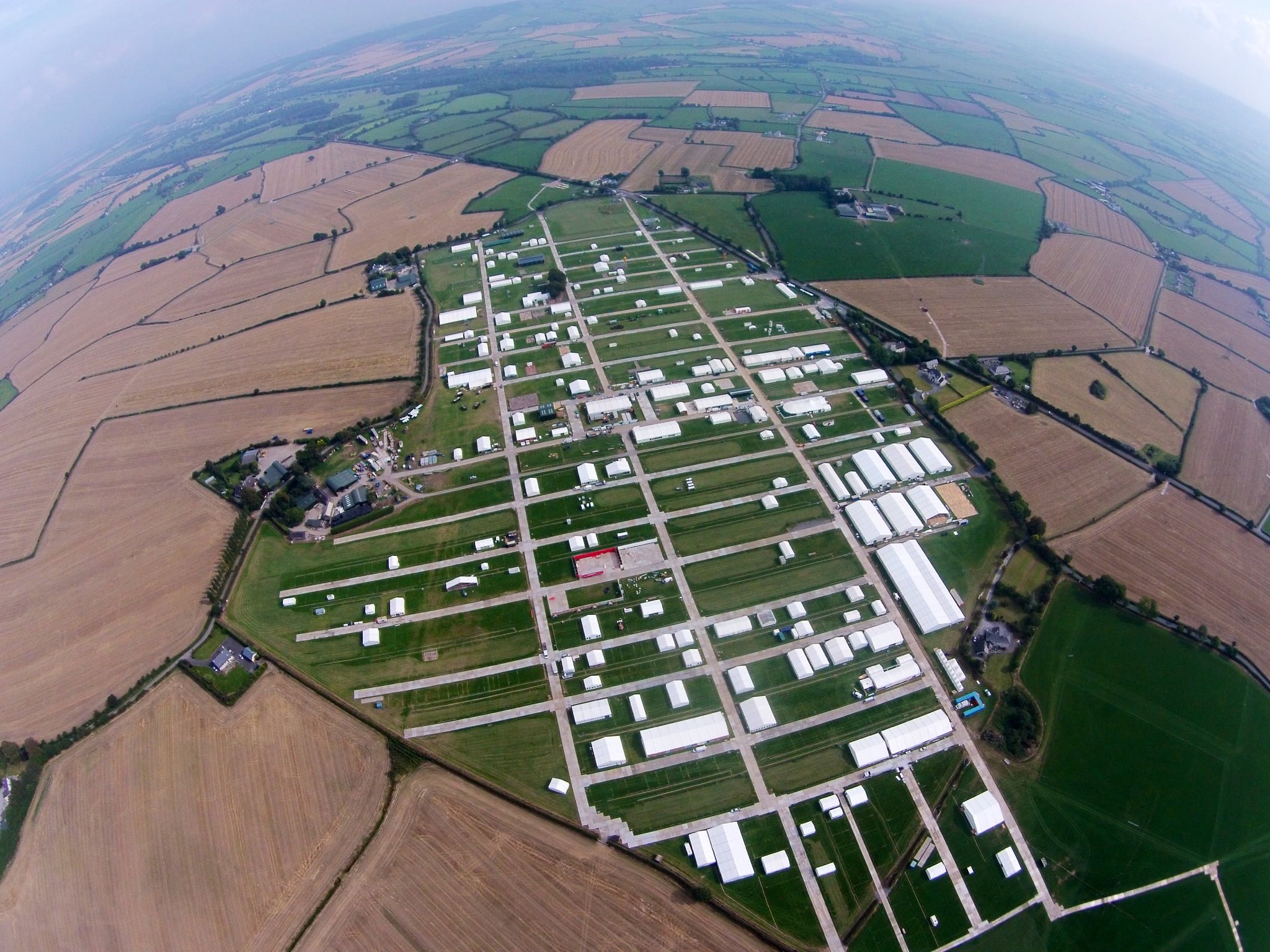 Field system in RingaheenField system · 1317 yd
 Enclosure in RingaheenEnclosure · 1362 yd
 CastleCastle, unclassified · 1604 yd
 The Heron's MeadowForest · 2.9 mi
 Johnstown Castle Visitor CentreHeritage attraction · 2.9 mi
 Irish Agricultural MuseumMuseum · 2.9 mi
 The Bull RockForest · 3.0 mi
 1798 Memorial PlaqueMemorial · 3.5 mi
 The HamBay · 3.9 mi