What is recorded here
Arlinstown holds a double-banked ringfort near the top of a ridge, its causewayed entrance pointing northeast while cattle bones still mark the south side. The earth works remain visible beside modern tillage, suggesting people lived, kept animals, and cleared stones there long before the field took the shape we know today.
In tillage, near top of ridge, looking N. Roughly circular area (65.8m N-S; 68.2m E-W) enclosed by inner bank (int. H 0.8m; ext. H 2.8m); outer bank (int. H 1.7m; ext. H 0.9m); intervening fosse. Causewayed entrance to NE. Field clearance stones dumped in fosse to W; cattle bones to S.
The above description is derived from the published 'Archaeological Inventory of County Cork. Volume 2: East and South Cork' (Dublin: Stationery Office, 1994). In certain instances the entries have been revised and updated in the light of recent research.
Date of upload/revision: 14 January 2009
A fairy fort / earthen ringfort in Arlinstown is a roughly circular early-medieval defensive or agricultural enclosure, characterized by double banks and a fosse, with a causewayed entrance to the north. Local tradition associates such sites with fairy folklore, and they were often avoided or treated with reverence by rural communities.
The monument record does not grant public access. Check the route and ask the landowner before entering private land.
- What survives
- Recorded monument
Places near here
 IndicatedFairy fort / earthen ringfort · 551 yd
 Altar RockMass-rock · 617 yd
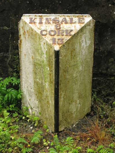 milestone/milepostmilestone/milepost · 1140 yd
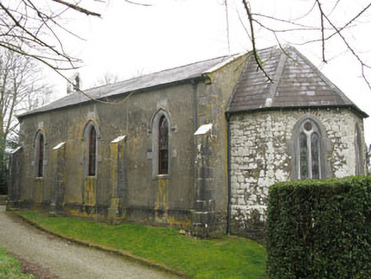 Ballymartle Churchchurch/chapel · 1652 yd
 Dooneen WoodsWood · 1724 yd
 Sunday's WellSpring · 1.0 mi
 Ballintubber WoodWood · 1.1 mi
 Dinny Barry MemorialMemorial · 1.9 mi
 St Laitiarain's WellSpring · 2.5 mi
 Cullen Castle (Site of)Castle, unclassified · 2.9 mi
 The Stone of DestinyMemorial · 3.4 mi
 White Castle (in Ruins)House, fortified house · 3.8 mi