What is recorded here
Internal diameter 54m N-S, 48.6m E-W
This univallate ringfort consists of a circular area enclosed by a bank and external fosse. The enclosing bank is constructed of earth and stone and rises to an average of 1.4m above the interior and 2.9m above the fosse. The external fosse is well defined, on average 1.6m wide and 1.2m deep. A 6m wide entrance lies to the SE. It was probably stone lined and, from the amount of stones visible at this sector, it is possible that there was a stone causeway leading to the entrance, though this cannot be seen today. The interior is at a higher level than the surrounding land. Contained in the interior are three mounds, two in the centre and one towards the SW sector; these are possibly the remains of house sites (KE021-108001-, KE021-108002- and KE021-108003-).
The above description is derived from C. Toal, ‘North Kerry Archaeological Survey’. Dingle. Brandon in association with FAS Training and Employment Authority (1995), no. 712. In certain instances the entries have been revised and updated in the light of recent research.
Date of upload: 2 August 2013
The monument record does not grant public access. Check the route and ask the landowner before entering private land.
- What survives
- Recorded monument
Places near here
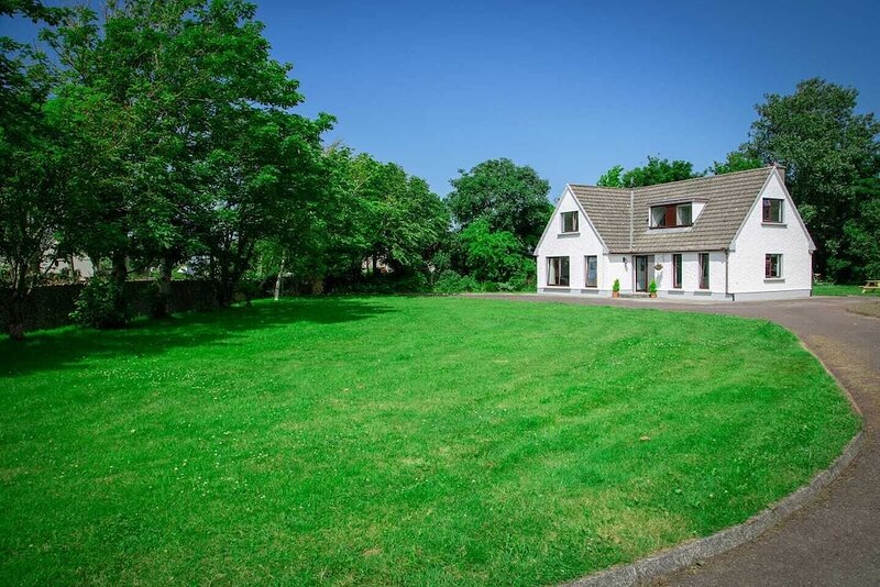 Hut site in ArdfertHut site · 1 yd
 Purseman's FortArchaeological place · 468 yd
 Ardfert Franciscan FriaryVisitor information · 1033 yd
 Abbey (in ruins)Religious house, Franciscan friars · 1053 yd
 Ardfert FriaryVisitor information · 1076 yd
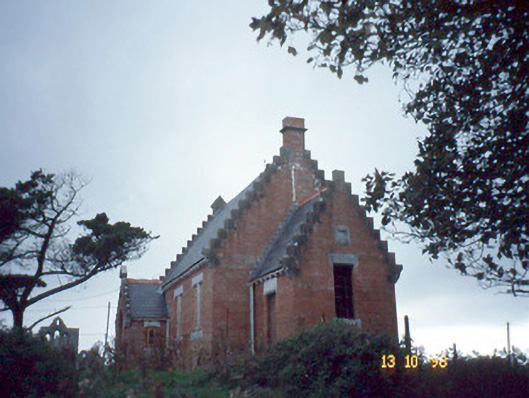 Ardfert Parish Roomchurch hall/parish hall · 1394 yd
 Statue of Roger CasementMemorial · 1426 yd
 CastleCastle, unclassified · 1493 yd
 15th Centenary of the birth of St-BredanMemorial · 1500 yd
 Ardfert CathedralHeritage attraction · 1541 yd
 Site of CastleCastle, unclassified · 1.0 mi
 Tobar na MoltSpring · 1.2 mi