What is recorded here
Situated atop high ground in an upland area with a standing stone (22:33/02) 19m to the S. A circular area (diam. 32m NW-SE) enclosed by an earthen bank (Wth 1-2m; int. H 0.3m; ext. H 1m) reduced to a scarp in places with a possible destroyed entrance gap at SE. The interior follows the natural rise of the hillock and does not appear to have been levelled.
The above description is derived from 'The Archaeological Inventory of County Tipperary. Vol. 1 - North Tipperary' compiled by Jean Farrelly and Caimin O'Brien (Dublin: Stationery Office, 2002). In certain instances the entries have been revised and updated in the light of recent research.
Date of upload/revision: 22 September 2008
The monument record does not grant public access. Check the route and ask the landowner before entering private land.
- What survives
- Recorded monument
Places near here
 Aghnameadle Church (in Ruins)Church · 512 yd
 Aghnameadle CastleCastle · 533 yd
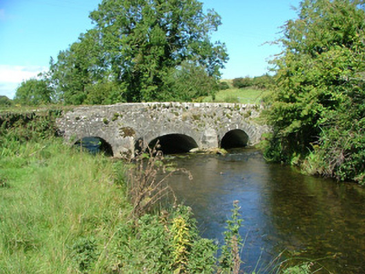 Aghnameadle Bridgebridge · 698 yd
 Enclosure in AghnameadleEnclosure · 783 yd
 Megalithic structure in AghnameadleMegalithic structure · 848 yd
 Blean CastleCastle · 1.1 mi
 Kyleroe WoodWood · 1.5 mi
 BenduffMountain / peak · 2.7 mi
 Borrisnoe MountainMountain / peak · 2.7 mi
 Killavalla WoodForest · 5.1 mi
 Thomas MacDonagh Heritage CentreMuseum · 7.0 mi
 MacDonagh HouseMemorial · 7.1 mi