What is recorded here
Excavated in 2006 in advance of the N9/N10 Kilcullen to Waterford Road Scheme (Excavation licence no. E3002). A steep, straight-sided possible post-hole (diam. 0.65m; D 0.56m) with a slightly pointed base. A single fill contained several substantial stones. Immediately to the N a possible double post-hole was excavated (each diam. c. 0.2m; D 0.12m). These may be related to the substantial Neolithic and Bronze Age structures (KK040-088----, KK040-089----) c. 100m to the SE. (Monteith 2007; Monteith 2009, 286, no. 1093)
Compiled by: Mary Tunney
Date of upload: 30 October 2013
The monument record does not grant public access. Check the route and ask the landowner before entering private land.
- What survives
- Recorded monument
Places near here
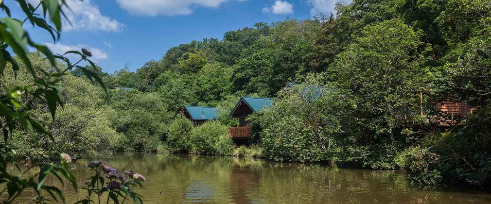 Deerpark Ringfort (rath)Archaeological place · 331 yd
 IndicatedPenal Mass station · 801 yd
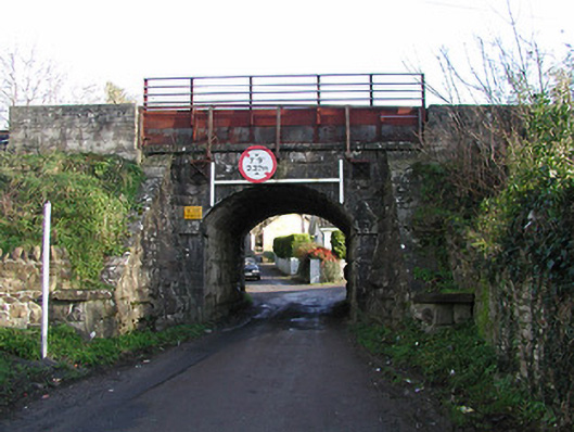 bridgebridge · 868 yd
 Rochestown Ringfort (rath)Archaeological place · 959 yd
 Clonassy WoodForest · 1035 yd
 CastleCastle, unclassified · 1425 yd
 Poulanassy WaterfallWaterfall · 1.4 mi
 Tory HillMountain / peak · 1.7 mi
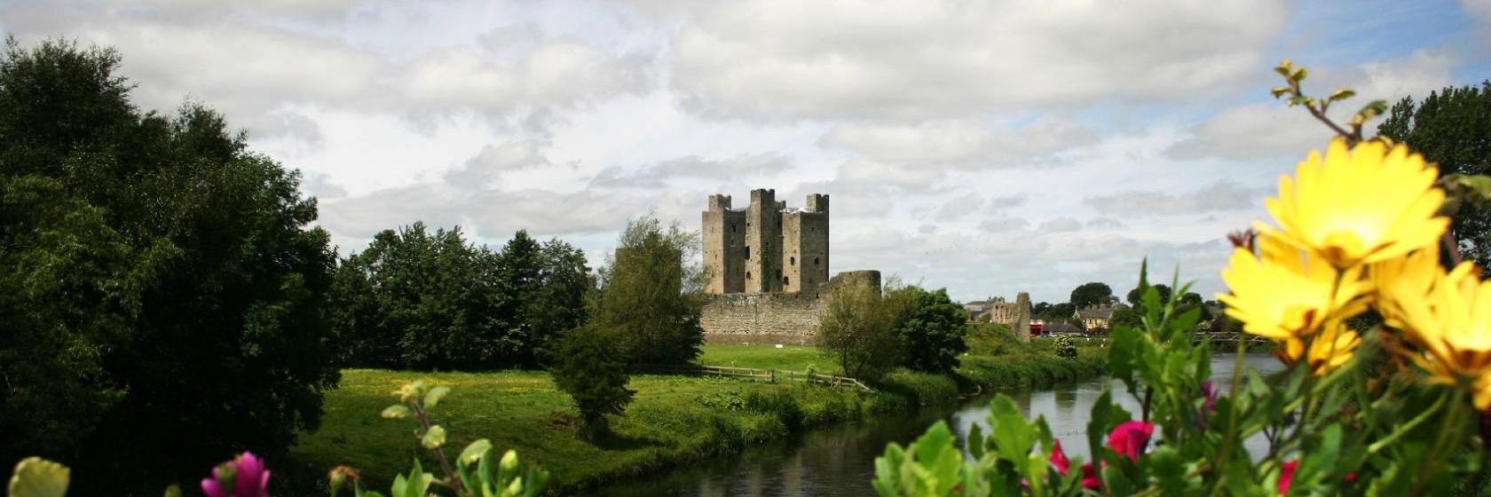 Dangan Castle (Site of)Castle, unclassified · 1.9 mi
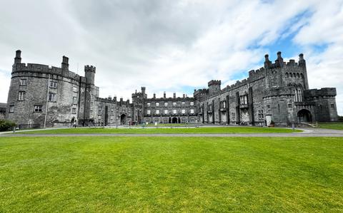 Ballynaboley WoodForest · 3.0 mi
 Portlaw Heritage CentreMuseum · 7.8 mi
 Mount Congreve GardensHeritage attraction · 8.0 mi