What is recorded here
This site was excavated by Kate Taylor (02E0899) as part of Bord Gáis Éireann's Pipeline to the West. It was on the western edge of a low-lying area of bog, at the base of a steep hill. This is the record for the "deposits of burnt and unburnt stones and pieces of wood lay above the silty clay layer, below the lowest peat layer, at the eastern end of the site. A spread of large stones below the peat at the western end of the site may also be of this phase." This description is posted on the web at the following internet address (accessed 2 August 2012): http://www.excavations.ie/
Compiled by: Denis Power
Date of Upload: 2 August 2012
The monument record does not grant public access. Check the route and ask the landowner before entering private land.
- What survives
- Recorded monument
Places near here
 Fulacht fia in InchagreenogeFulacht fia · 1 yd
 Burnt mound in RobertstownBurnt mound · 94 yd
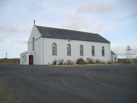 Saint Senan's Catholic Churchchurch/chapel · 562 yd
 Robertstown Church (in ruins)Church · 801 yd
 Robertstown Castle (in ruins)Castle, tower house · 962 yd
 Dysert Castle (in ruins)Castle, tower house · 1.4 mi
 Foynes Flying Boat & Maritime MuseumMuseum · 1.9 mi
 Foynes Island ViewpointViewpoint · 2.1 mi
 Gammarel PointHeadland · 2.1 mi
 Foynes IslandIsland · 2.5 mi
 Battery PointHeadland · 2.8 mi
 Monterey CypressMonterey Cypress · 3.2 mi