What is recorded here
A charcoal spread (dims 1.4m x .4m) and a shallow drain was uncovered during work along the gas pipeline corridor. No further information (Cleary et al. 1987, 6).
Date of upload: 8 September 2016
The monument record does not grant public access. Check the route and ask the landowner before entering private land.
- What survives
- Recorded monument
Places near here
 Enclosure in Castleroe EastEnclosure · 503 yd
 CastleCastle, tower house · 819 yd
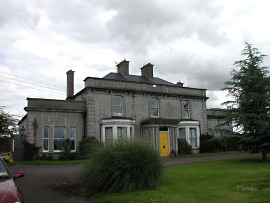 Castleroe Lodgefarm house · 843 yd
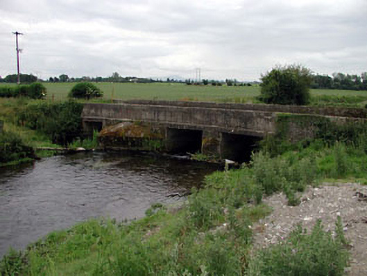 Levitstown Bridgebridge · 1256 yd
 Enclosure in HallahoiseEnclosure · 1739 yd
 Lorcán Ó TuathailMemorial · 1.7 mi
 Mullaghreelan WoodForest · 2.1 mi
 Castle in ruinsCastle, unclassified · 2.1 mi
 ProclamationMemorial · 2.3 mi
 Franciscan FriaryHeritage attraction · 2.6 mi
 Castledermot Round TowerHeritage attraction · 2.7 mi
 Oak Park Forest ParkWood · 3.2 mi