
What is recorded here
Lisdoo Fort in Ballydulany, County Down, is an enclosure whose age and true shape have slipped into uncertainty. The official map places a point at its centre, but the land itself may still hide the boundary stones, ditches or walls that defined the fort. People may have lived, feared or worshipped there before the name was forgotten, leaving only a vague circle behind.
The official Northern Ireland record identifies this as ENCLOSURE: LISDOO FORT. Recorded period: UNCERTAIN. The official map point was placed at the centre of the recorded archaeological site from the source map reference.
The monument record does not grant public access. Check the route and ask the landowner before entering private land.
- What survives
- Recorded monument
Places near here
 ENCLOSURE in CarnanyENCLOSURE · 1548 yd
 ROUND CAIRN: CARNADRANNA in Carmeen; EdentrumlyROUND CAIRN: CARNADRANNA · 1.1 mi
 Ryans Presbyterian ChurchChurch · 2.9 mi
 Downshire ArmsHotel · 2.9 mi
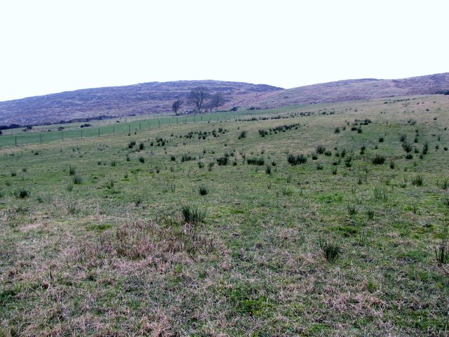 Slieve RoosleyMountain / peak · 3.3 mi
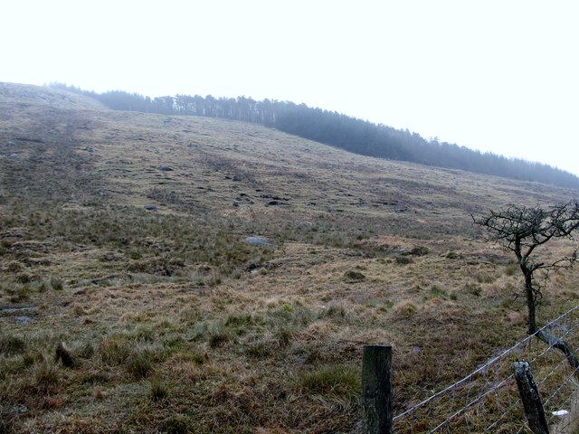 Crotlieve MountainMountain / peak · 3.4 mi
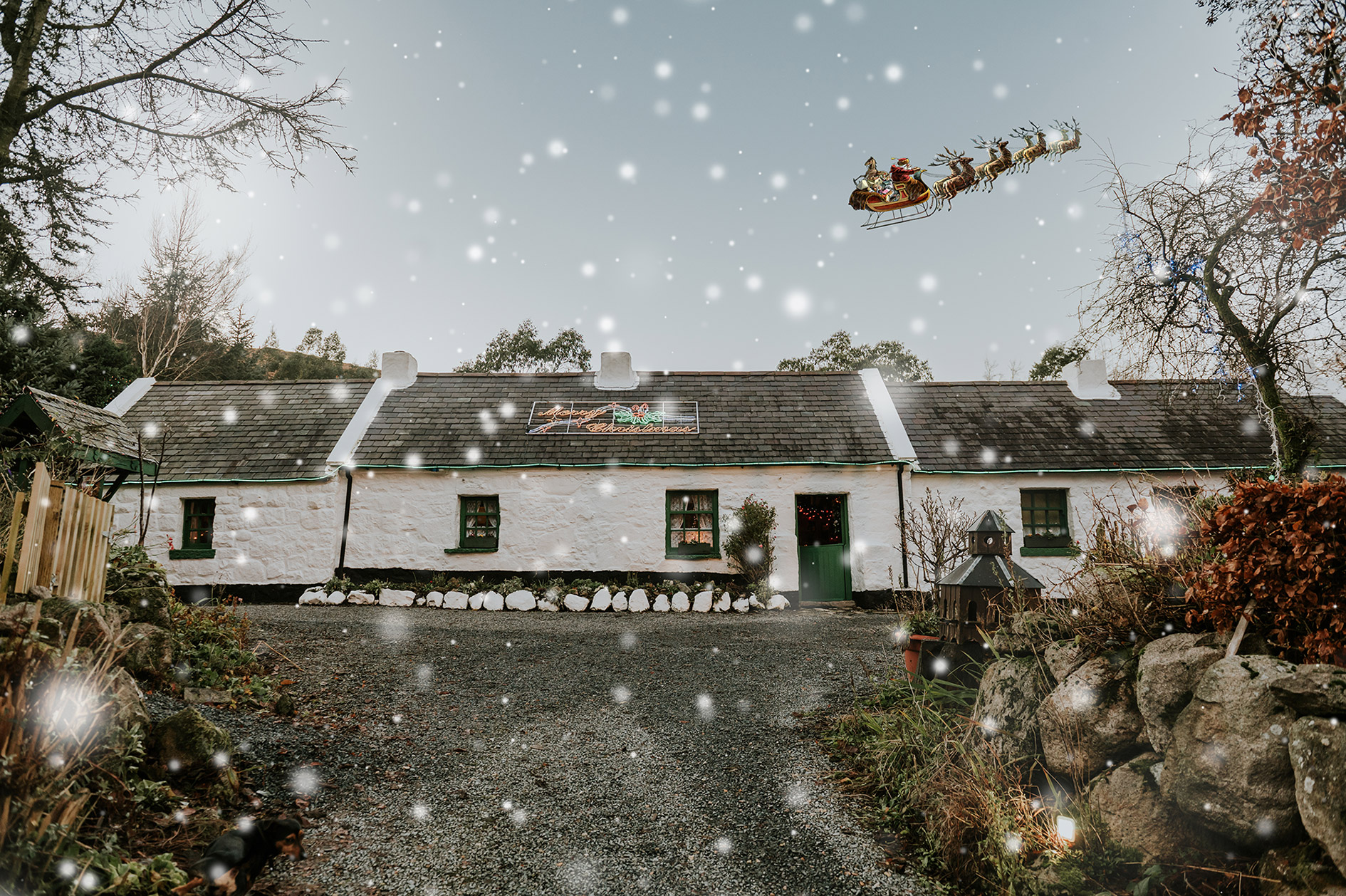 Santas CottageHeritage attraction · 3.6 mi
 Leitrim Lodge Picnic AreaPicnic place · 3.7 mi
 Yellow Water picnic sitePicnic place · 4.1 mi
 Goin Back AreaCliff · 4.4 mi
 Iron Hawk AreaCliff · 4.4 mi
 UNCERTAIN: CASTLE COMMOGUE in GowardUNCERTAIN: CASTLE COMMOGUE · 4.5 mi
Other information
Photo: Credit not shown in the picture search · Rights wording not checked; contact us if this picture should be removed