What is recorded here
The Drish River flows c. 100m to the N, in tillage. A large oval enclosure (overall dims. c. 90m N-S; c. 75m E-W), defined by a fosse which is visible as a cropmark on satellite imagery (Bing), identified and reported by Jean-Charles Caillère. Field boundaries immediately N and W of the enclosure were levelled between June 2018 and April 2020. Another field boundary runs roughly N-S along the E side of the monument. A ringfort (TN042-014----) lies c. 160m to the NW on the opposite side of the river.
Compiled by: Jean Farrelly
The monument record does not grant public access. Check the route and ask the landowner before entering private land.
- What survives
- Recorded monument
Places near here
 Enclosure in Piercetown (rahelty Par.)Enclosure · 1583 yd
 Castle (in Ruins)Bawn · 1.1 mi
 Enclosure in Castletown (moyne Par.)Enclosure · 1.1 mi
 Bawn in Castletown (moyne Par.)Bawn · 1.5 mi
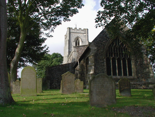 Rahelty Church (in Ruins), Grave YardChurch · 1.5 mi
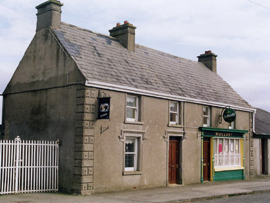 Mullanyhouse · 1.7 mi
 European ashEuropean ash · 4.0 mi
 St. Mary's Famine and War MuseumMuseum · 4.3 mi
 Famine & War MuseumMuseum · 4.4 mi
 Byrnes's WoodsForest · 4.7 mi
 Horse and JockeyVisitor information · 6.9 mi
 Gobban Saer's GraveArchaeological place · 7.7 mi