What is recorded here
St. Mary's Brookvale Road in County Dublin holds a forgotten circular enclosure from the Medieval period. A narrow ditch, barely wider than a outstretched arm, still traces the boundary of a space large enough for a small house or sacred garden. The earth kept the shape while human memory faded, proving that even unknown townlands preserve the outlines of lost life.
Archaeological monitoring at St. Mary's Brookvale Road revealed part of a sub-circular enclosure (diam. 12m) enclosed by a ditch (wth.1.2m, D 0.3m). This is thought to be of Medieval date (Mc Conway 1996, 13).
The monument record does not grant public access. Check the route and ask the landowner before entering private land.
- What survives
- Recorded monument
Places near here
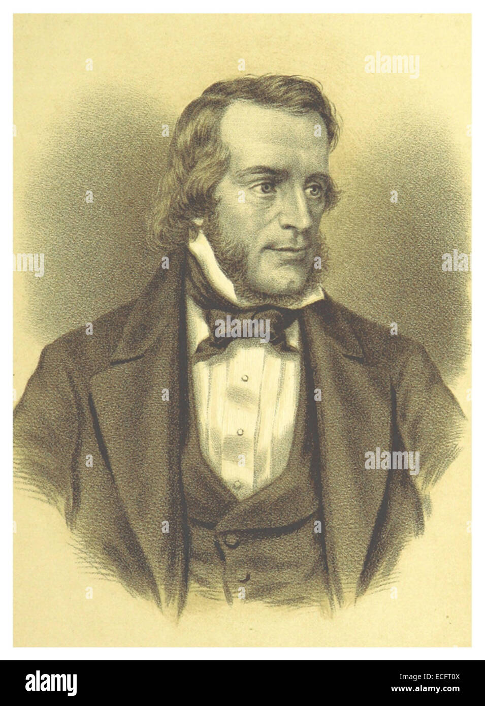 Thomas Osborne DavisMemorial · 88 yd
 ChapelEcclesiastical site · 89 yd
 Donnybrook CemeteryMemorial · 91 yd
 IndicatedMill, unclassified · 257 yd
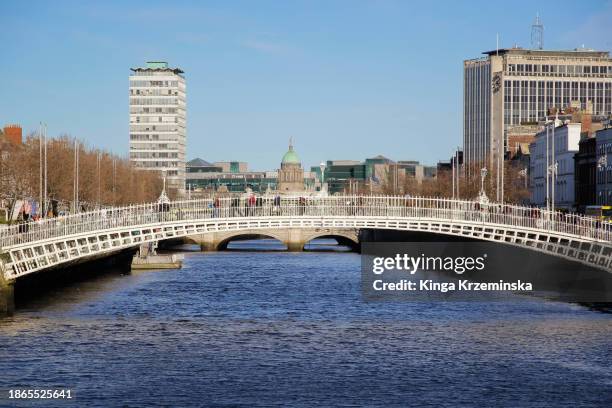 Anglesea BridgeBridge · 261 yd
 The Arthur Morrison MonumentMonument · 286 yd
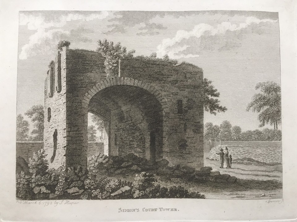 Simmonscourt CastleCastle, tower house · 611 yd
 Saint Broc's WellSpring · 693 yd
 Hybrid poplarHybrid poplar · 808 yd
 RTÉVisitor information · 911 yd
 Hybrid strawberry treeHybrid strawberry tree · 918 yd
 The Gerard Byrne StudioGallery · 1370 yd