What is recorded here
An aerial photograph (OS 7, 9517, 9519) showed cropmark evidence for a univallate enclosure (diam. c. 20m) with an annex on the E. Test excavation (Licence no. 03E1496) in advance of housing development did not identify the site (O'Carroll, E. 2003: 485 www.excavations.ie). Now built over.
Compiled by: Geraldine Stout
Updated by: Christine Baker
Date of upload: 28 January 2015
The monument record does not grant public access. Check the route and ask the landowner before entering private land.
- What survives
- Recorded monument
Places near here
 Burnt mound in Unknown TownlandBurnt mound · 82 yd
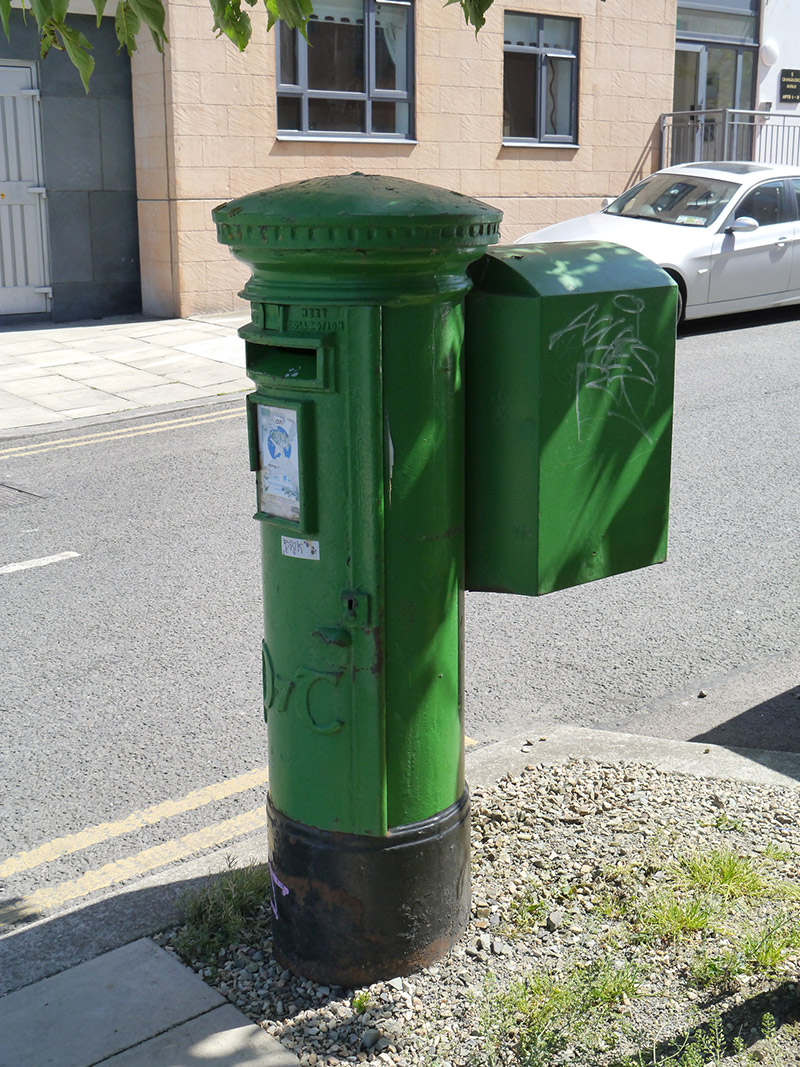 post boxpost box · 265 yd
 Enclosure in Unknown TownlandEnclosure · 361 yd
 Grange ChurchChurch · 869 yd
 Map of Baldoyle Industrial EstateVisitor information · 906 yd
 Baldoyle Estuary Nature ReserveNature reserve · 1735 yd
 Strand Mill RuinsRuins · 1.1 mi
 Ayrfied UnitedHeritage attraction · 1.4 mi
 Graveyard in Kilbarrack LowerGraveyard · 1.4 mi
 St Catherine's WellSpring · 1.4 mi
 Portmarnock BeachBeach / strand · 1.6 mi
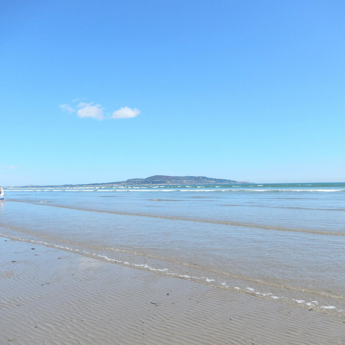 Bull Island Wildlife Only AreaNature reserve · 2.0 mi