
What is recorded here
An aerial photograph (OS 7 9517, 9519) showed cropmark evidence for a univallate enclosure which is roughly circular in plan. Test excavation (Licence no. 03E1496) was undertaken in advance of housing development. Nine trenches were opened on the site of the monument but no traces of any features were identified (O'Carroll, E. 2003:485 www.excavations.ie). Now built over.
Compiled by: Geraldine Stout
Updated by: Christine Baker
Date of upload: 28 January 2015
The monument record does not grant public access. Check the route and ask the landowner before entering private land.
- What survives
- Recorded monument
Places near here
 Burnt mound in Unknown TownlandBurnt mound · 407 yd
 Ring-ditch in Snugborough (coolock By.)Ring-ditch · 497 yd
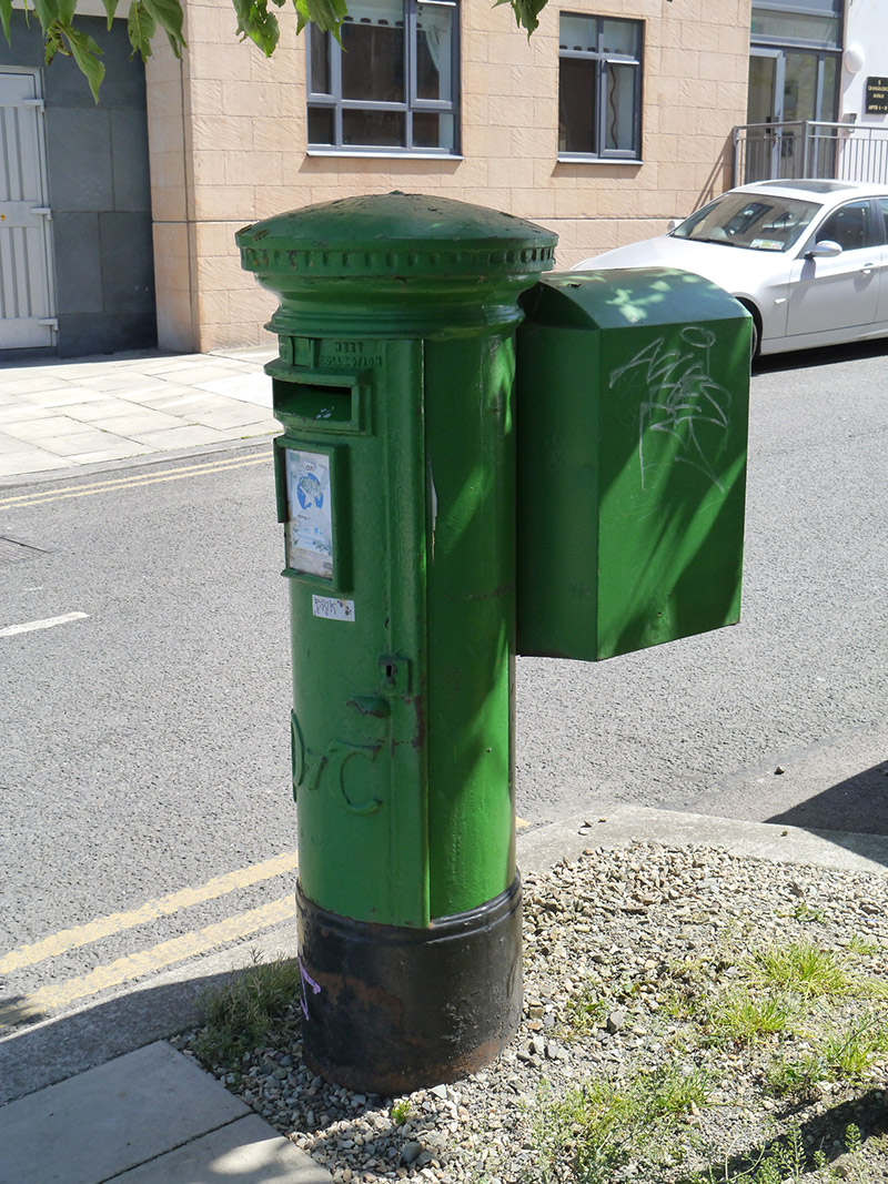 post boxpost box · 547 yd
 Grange ChurchChurch · 1114 yd
 Map of Baldoyle Industrial EstateVisitor information · 1261 yd
 Strand Mill RuinsRuins · 1567 yd
 Baldoyle Estuary Nature ReserveNature reserve · 1.0 mi
 St Catherine's WellSpring · 1.2 mi
 Ayrfied UnitedHeritage attraction · 1.4 mi
 Graveyard in Kilbarrack LowerGraveyard · 1.6 mi
 Portmarnock BeachBeach / strand · 1.6 mi
 Black WoodWood · 1.9 mi
Other information
Photo: Credit not shown in the picture search · Rights wording not checked; contact us if this picture should be removed