What is recorded here
The cropmarks of four enclosures in a small area (dims c. 150m N-S; x c 150m E-W) on a fairly level landscape are visible on Apple Maps, which utilises a survey conducted by Blue Sky International during June 2018. The cropmark of a W-E drain or small stream runs through the area, and another stream attaches to it from the N. This oval enclosure (max. dims c. 27m E-W; c. 15m N-S) defined by a slight fosse is c. 20m S of the stream, and attached to the N side of enclosure (LH022-056004-). It was reported separately by Matthew Mullen-Reynolds and Anthony Murphy at about the same time.
Compiled by: Michael Moore
Date of upload: 21 January 2020
The monument record does not grant public access. Check the route and ask the landowner before entering private land.
- What survives
- Recorded monument
Places near here
 Enclosure in TermonfeckinEnclosure · 88 yd
 Man-made underground passage in BetaghstownMan-made underground passage · 610 yd
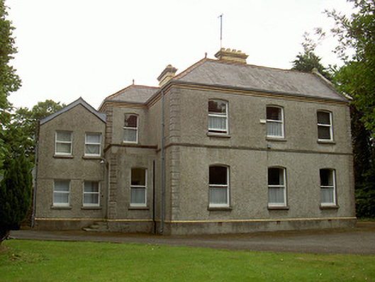 Catholic Church of the Immaculate Conceptionpresbytery/parochial/curate's house · 792 yd
 Castle (Site of)Castle, tower house · 839 yd
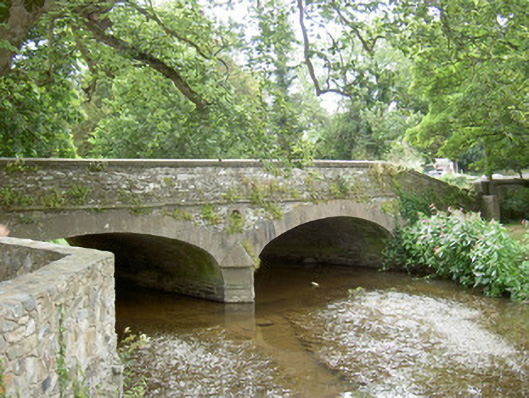 bridgebridge · 884 yd
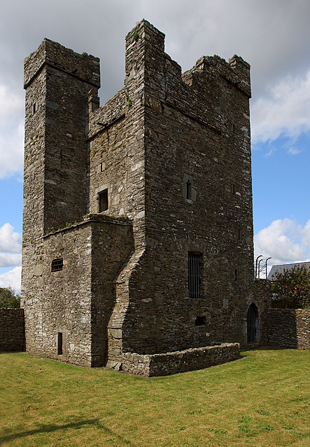 CastleCastle, tower house · 1223 yd
 Beaulieu House and GardensHeritage attraction · 2.0 mi
 Newgrange Business ParkMemorial · 5.3 mi
 Yellow IslandIslet · 5.4 mi
 Grove IslandIslet · 5.7 mi
 MonasterboiceEarly monastic site · 5.7 mi
 BarabonaMountain / peak · 6.5 mi