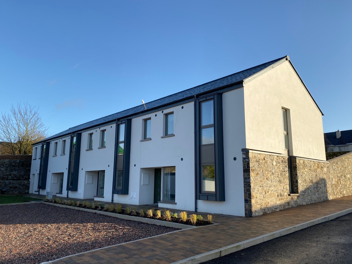
What is recorded here
Located in a relatively low-lying location (c. 65 OD) in a gently undulating landscape now characterised by tillage and pastoral farming. Sited close to the W boundary of a field currently in use for grassland\pastoral purposes (Google Earth August 2022) and located c. 40m E and c. 125m N of the course of the Guilie River, which meanders around the site with an abrupt ‘angle’ c. 150m to the S. Landscape, generally, slopes away very gently to the S and SE of the site towards the River Barrow (closest point to River Barrow is c. 2.1kms to the E). Site located c. 675m N of the remains of an early church site (LA026-013002-), associated with St Abban, at Kilabban, and 550m c. m E\ENE of the cropmark of a bivallate large enclosure (LA026-053----) at Coolgarragh that was identified from Google Earth imagery (July 2018).
This enclosure is clearly visible as a cropmark on the Google Earth (August 2022) imagery of the area. It consists of a subcircular feature (est. ext. dims c. 68.5m N-S x 59.5m E-W) that is defined by a ditch (est. Wth c. 2-2.5m) of which an arc running from NW through E to SW is evident on the above imagery. The extreme W end of the enclosure is not evident on the available imagery but this may be due to differential land use at the time of image capture (field margins recently harvested for hay etc.). No definitive evidence for an entrance gap (possibly to W were imagery obscured and adjacent to Guilie River).
Compiled by: T.J. O'Meara based on details provided by Jean-Charles Caillère
Uploaded on: 31/07/2023
See attached:
LA026-060----_01 Google Earth imagery (August 2022)
The monument record does not grant public access. Check the route and ask the landowner before entering private land.
- What survives
- Recorded monument
Places near here
 Ecclesiastical enclosure in KillabbanEcclesiastical enclosure · 728 yd
 Killabban Church (in ruins)Church · 749 yd
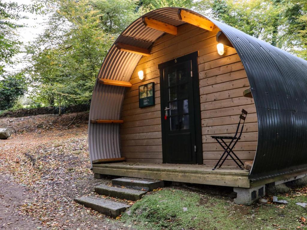 Enclosure in BallybegEnclosure · 1102 yd
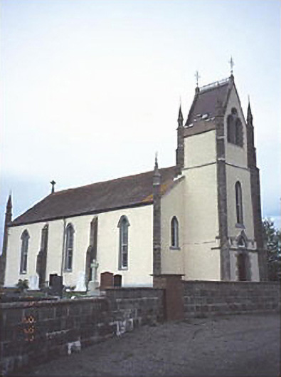 Saint Abban's Catholic Churchchurch/chapel · 1.2 mi
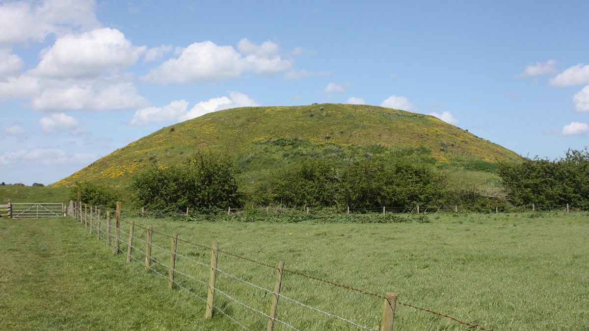 The MoundCastle, motte and bailey · 1.9 mi
 .Site of St. Legers CastleCastle, unclassified · 2.1 mi
 Pedunculate OakPedunculate Oak · 3.4 mi
 Lorcán Ó TuathailMemorial · 4.1 mi
 Mullaghreelan WoodForest · 4.3 mi
 Zoltan Zinn-Collis memorialMemorial · 4.7 mi
 Town HallMuseum · 4.7 mi
 Killeshin ChurchVisitor information · 5.3 mi
Other information
Photo: Credit not shown in the picture search · Rights wording not checked; contact us if this picture should be removed