
What is recorded here
In pasture, located on level, lowlying ground, with undulating terrain to S and a roughly N−S ridge to E. Croagh Patrick is visible on the far horizon to W. The enclosure abuts a low rise at W−NW.
This enclosure is not indicated on any edition of the OS 6-inch maps. It has been levelled and the remains are barely discernible at ground level.
It consists of a circular area (53m N−S; c. 50m E−W) defined by a slight undulation (Wth 3-4m), which represents a levelled bank. The bank merges with the slope of a low natural rise on the W arc. There appears to be a break in the bank at NE−E, possibly an entrance.
The interior is level and not noticeably raised above exterior ground level. In the N half, there is a shallow, circular flat-based depression (diam. 10-11m; D 0.2-0.3) of uncertain significance. A barely discernible linear feature, probably a levelled field boundary, extends across the centre of the interior on a N−S axis. A rath (MA100-076----) is located on the ridge c. 230m to E.
Notified to NMS by Jean-Charles Caillère.
Attached image:
MA100-165----_01.JPG Viewed from SW
Compiled by: Jane O’Shaughnessy
Date of upload: 19 March 2021
The monument record does not grant public access. Check the route and ask the landowner before entering private land.
- What survives
- Recorded monument
Places near here
 IndicatedEnclosure · 944 yd
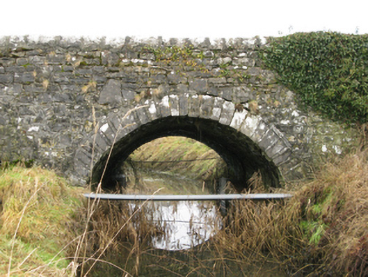 Ballyglass Bridgebridge · 1045 yd
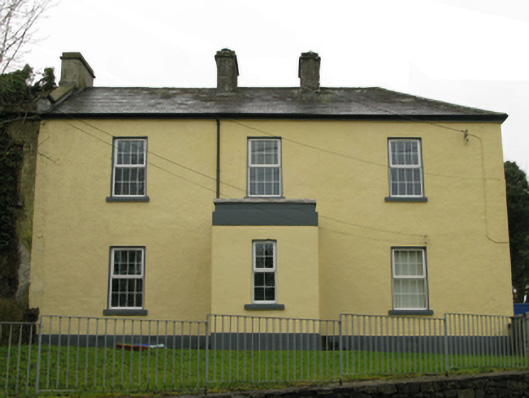 Ballyglass Garda Síochána Stationgarda station/constabulary barracks · 1128 yd
 Bawn in BellanaloobBawn · 1.5 mi
 Enclosure in Knockboy (carra By.)Enclosure · 1.6 mi
 Castle LucasCastle · 2.7 mi
 Moore Hall Forest TrailWalking route · 3.5 mi
 Creevagh IslandIslet · 3.6 mi
 Connors IslandIslet · 3.6 mi
 Moore Hall ForestForest · 3.7 mi
 Kiltoom PointHeadland · 3.8 mi
 Cerberus, from Thomastown HouseMemorial · 3.9 mi
Other information
Photo: Credit not shown in the picture search · Rights wording not checked; contact us if this picture should be removed