What is recorded here
In pasture, atop low N-S running ridge. Monument, depicted as embanked oval enclosure (c. 40m N-S; c. 30m E-W) on 1924 OS 6-inch map, has been levelled. No trace of monument evident when inspected.
Compiled by: Denis Power
Date of upload: 26 August 2011
The monument record does not grant public access. Check the route and ask the landowner before entering private land.
- What survives
- Recorded monument
Places near here
 IndicatedEnclosure · 1309 yd
 Limerick GreenwayWalking route · 1612 yd
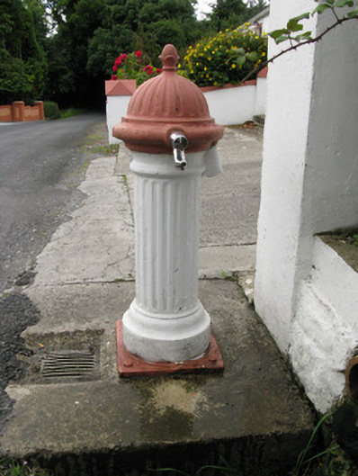 water pumpwater pump · 1.4 mi
 post boxpost box · 1.4 mi
 EnclosureEnclosure, large enclosure · 2.0 mi
 Sugar HillMountain / peak · 2.6 mi
 Templars Castle (in ruins)Castle, Anglo-Norman masonry castle · 3.0 mi
 CahermoyleCastle, unclassified · 4.3 mi
 St. Luke's WellSpring · 4.6 mi
 TobereenalaffinaSpring · 4.7 mi
 Lawson's CypressLawson's Cypress · 6.1 mi
 Barnagh HillMountain / peak · 6.2 mi