
What is recorded here
Aerial photograph (GB90.BL.21) shows cropmark of a circular enclosure defined by a fosse. First recorded as a positive cropmark in July 1990.
The above report has been compiled by Dr. G.F. Barrett and supplied to the Archaeological Survey of Ireland.
Date of this report: 03 December 2009
The monument record does not grant public access. Check the route and ask the landowner before entering private land.
- What survives
- Recorded monument
Places near here
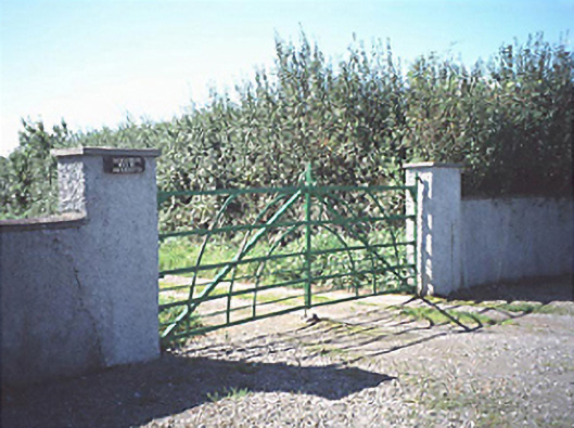 Raheenduff Househouse · 655 yd
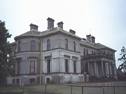 Stradbally Hallcountry house · 1163 yd
 European BeechEuropean Beech · 1293 yd
 RathmoreEnclosure · 1556 yd
 Bawn in StradballyBawn · 1643 yd
 Site of CastleCastle, unclassified · 1687 yd
 Enclosure in Rathmore (stradbally By.)Enclosure · 1.0 mi
 CEMETERYGraveyard · 1.6 mi
 Pedunculate OakPedunculate Oak · 1.6 mi
 Oughaval Wood MapVisitor information · 1.9 mi
 Rock of Dunamase InformationVisitor information · 1.9 mi
 Beech Way WalkWalking route · 2.0 mi
Other information
Photo: Credit not shown in the picture search · Rights wording not checked; contact us if this picture should be removed