What is recorded here
The River Nore is located c. 250m to the W, c. 170m to the SW, in tillage. An aerial photograph (GB89.P.47, 13 July 1989) shows cropmark of an enclosure (diam. c. 50m) defined by a fosse and with an entrance facing W towards the River Nore. The field boundary visible running roughly E-W N of the enclosure has since been removed.
Compiled by: Dr. Gillian Barrett for the Archaeological Survey of Ireland and Jean Farrelly
Date of revised upload: 28 January 2019
The monument record does not grant public access. Check the route and ask the landowner before entering private land.
- What survives
- Recorded monument
Places near here
 Enclosure in Grange (fassadinin By.)Enclosure · 418 yd
 Grangemaccomb Church (in ruins)Church · 464 yd
 Grange Ringfort (rath)Archaeological place · 742 yd
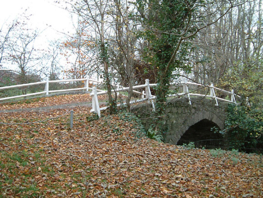 Grange Housebridge · 750 yd
 Ballyragget Cas.Castle, tower house · 1.3 mi
 CastleCastle, unclassified · 1.4 mi
 Donaghmore WellSpring · 1.5 mi
 Anker's IslandIsland · 3.1 mi
 Emma Jane Browne-ClaytonMemorial · 3.4 mi
 Red horse-chestnutRed horse-chestnut · 3.4 mi
 Freshford LoopWalking route · 4.0 mi
 Graveyard in ThreecastlesGraveyard · 4.0 mi