What is recorded here
Internal Enclosure: SE of the huts (KE087-033003- and KE087-033006-) a D-shaped area, 8.1m long x 3.9m in maximum width, is enclosed by a low stony bank that features occasional uprights. The bank averages 1.5m wide and .3m high, and extends from the enclosing element at S to the E corner of the platform on which hut (KE087-033006-) is located.
The above description is derived from O'Sullivan, A. and Sheehan, J. (compilers) 'The Iveragh peninsula: an archaeological survey of South Kerry'. Cork University press. (1996), no. 966. In certain instances the entries have been revised and updated in the light of recent research.
Date of upload: 13 June 2013
The monument record does not grant public access. Check the route and ask the landowner before entering private land.
- What survives
- Recorded monument
Places near here
 Church in Long IslandChurch · 5 yd
 Horse IslandIslet · 293 yd
 Long IslandIslet · 293 yd
 Doon PointPromontory fort, coastal · 407 yd
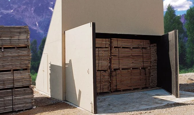 KilnKiln, corn-drying · 1097 yd
 Enclosure in BrayEnclosure · 1202 yd
 Telegraph Field Valentia IslandMemorial · 1698 yd
 Kerry CliffsHeritage attraction · 1.0 mi
 Kerry Cliffs ExperienceHeritage attraction · 1.0 mi
 Sean LochaCliff · 1.8 mi
 Tobairin Holy WellSpring · 1.9 mi
 Tráigh na SplinceBeach / strand · 1.9 mi