What is recorded here
In pastureland. This is the S example of two small circular enclosures (diam. c. 10m), possibly ring-ditches, that are visible on satellite imagery (© Apple Maps). They were identified and reported to the Survey by Jean-Charles Caillère. A levelled field boundary running roughly ENE-WSW cuts across the S half of it. The second example (GA106-182002-) is visible on the imagery c. 54m to its NNW.
The following image has been uploaded:
GA106-182001-_01.jpg Apple Maps
Compiled by: Olive Alcock
Date of upload: 24 September 2020
The monument record does not grant public access. Check the route and ask the landowner before entering private land.
- What survives
- Recorded monument
Places near here
 Old R.C. Chapel (in ruins)Chapel · 628 yd
 Leaght LiocanLeacht · 892 yd
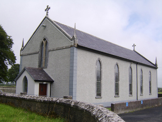 Saint Jarlath's Catholic Churchchurch/chapel · 1134 yd
 Enclosure in SrahdooEnclosure · 1298 yd
 Kilcooly Castle (in ruins)Castle, tower house · 1.4 mi
 Ballynamantragh CastleCastle, unclassified · 1.6 mi
 Dartfield Horse MuseumHeritage attraction · 2.1 mi
 Stone Islands SouthIslet · 2.9 mi
 Long PointHeadland · 2.9 mi
 Bush IslandIslet · 3.1 mi
 Turoe StoneHeritage attraction · 4.8 mi
 Quarryhill WoodWood · 6.5 mi