What is recorded here
A circular enclosure (dims. c. 36m) identified as the cropmark of a fosse on aerial photograph (CUCAP AYK063, 9 July 1969). On the OS 6-inch maps (1839 1st ed. and 1947 revision) a field boundary with a trackway is indicated running NW-SE, through what is visible on the aerial photograph as the W sector the enclosure. Another field boundary is also indicated on these maps running along the S edge of the enclosure, this has since been levelled and is visible as a cropmark on the aerial photograph. Two conjoined enclosures (KK023-049001- and KK023-049002-) conjoins to the E are located c. 70m to the E and c. 30m to the ESE respectively.
KK023-049001-_01 aerial photograph (CUCAP AYK063, 9 July 1969)
Compiled by: Jean Farrelly
Date of upload: 17 August 2021
The monument record does not grant public access. Check the route and ask the landowner before entering private land.
- What survives
- Recorded monument
Places near here
 Enclosure in Kilree (knocktopher By.)Enclosure · 85 yd
 IndicatedEnclosure · 501 yd
 Church in Kilree (knocktopher By.)Church · 852 yd
 Castle (in ruins)Castle, unclassified · 877 yd
 Black WalnutBlack Walnut · 1395 yd
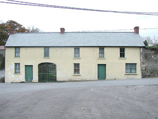 Kilkenny HouseRIC barracks · 1561 yd
 Time CapsuleMemorial · 1.2 mi
 MarlowWood · 1.3 mi
 Danesfort CrossMemorial · 1.4 mi
 Kilkenny AirsoftHeritage attraction · 1.5 mi
 O'Gorman's Lane LoopWalking route · 1.5 mi
 Tower (in ruins)Bawn · 1.7 mi