What is recorded here
Situated on a slight rise in a level landscape, with a N-S stream c. 10m to the E. The cropmark of a circular enclosure (diam. c. 40m) is visible on digital aerial photographs (WA027-086_1 to 4), taken in 2004.
Compiled by: Michael Moore
Date of upload/revision: 10 June 2011
The monument record does not grant public access. Check the route and ask the landowner before entering private land.
- What survives
- Recorded monument
Places near here
 Enclosure in BallynamoyntraghEnclosure · 988 yd
 Windmill (in Ruins)Windmill · 1453 yd
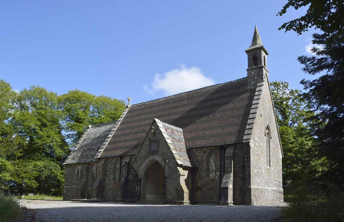 Church (in ruins)Church · 1.3 mi
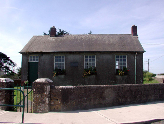 Killea National SchoolOfficially recorded historic building · 1.5 mi
 Fairy Bush LoopWalking route · 1.6 mi
 Main ForestWood · 2.0 mi
 Fairy Bush Forenaught LoopWalking route · 2.0 mi
 Lower ForestWood · 2.0 mi
 South East Coastal DriveVisitor information · 2.0 mi
 Castle in ruinsCastle, Anglo-Norman masonry castle · 2.2 mi
 Ladies CoveBeach / strand · 2.2 mi
 Councillors StrandBeach / strand · 2.2 mi