What is recorded here
In tillage. A river runs NW-SE c. 80m to the S. A possible enclosure identified as a cropmark on an aerial photograph (CUCAP BDR051, 18 July 1970), however, it is possible a naturally wet area in the field and appears to have a small stream running from its SW sector. Another possible enclosure (KK021-002001-) lies c. 120m to the W.
See attached:
KK021-002002-_01 CUCAP BDR051, 18 July 1970
Compiled by: Jean Farrelly
The monument record does not grant public access. Check the route and ask the landowner before entering private land.
- What survives
- Recorded monument
Places near here
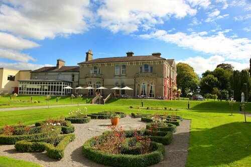 Enclosure in PaulstownEnclosure · 393 yd
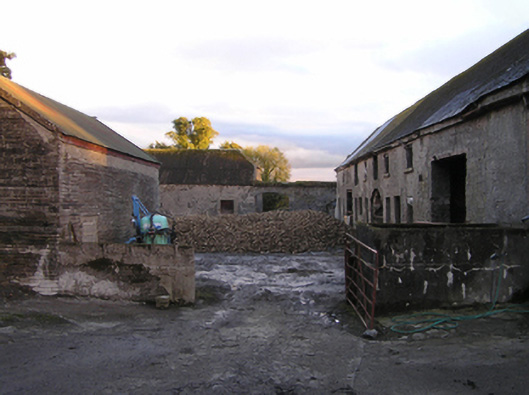 Mountrothe Housefarmyard complex · 410 yd
 Church in KilmacahillChurch · 441 yd
 Brophys of the PostArchaeological place · 1.2 mi
 The Green GardenWood · 1.3 mi
 Site of CastleCastle, unclassified · 2.1 mi
 Church (in ruins), GraveyardChurch · 2.8 mi
 Castle (Site of)Castle, unclassified · 2.9 mi
 HawthornHawthorn · 3.8 mi
 Lock Keeper's House and Lodge MillsVisitor information · 3.9 mi
 St. Mogarra’s WellSpring · 4.4 mi
 Tullaherin Church and Round TowerVisitor information · 7.2 mi