What is recorded here
'Located on a limestone reef 90m north-west of that on which KE028-090---- is located. The reef affords commanding views in all directions particularly toTralee Bay at the south and south-west. The surface of the reef bears up to 12 separate short stretches of low stone walls (KE028-117----), sometimes composed of limestone rubble and at other times composed of lines intermittent boulders with some rubble between. The longest stretch of wall measures 20m and remains to a height of only 0.45m. There is a probable enclosure (KE028-116----) on the north-east end of the highest point on the reef it is composed of a ring of limestone boulders and bedrock outcrop with some limestone rubble remaining around some of the stones. The enclosure is sub-circular with internal dimensions of 14.5m N-S and 16m E-W.'
Description from ‘The Prehistoric Settlement of the Lee Valley, Tralee, Co. Kerry; A Landscape Perspective’ by Michael Connolly. PhD Thesis UCC 2008
Date of upload: 05 July 2012
The monument record does not grant public access. Check the route and ask the landowner before entering private land.
- What survives
- Recorded monument
Places near here
 Field system in Kerries WestField system · 1 yd
 Man-made underground passage in Kerries WestMan-made underground passage · 189 yd
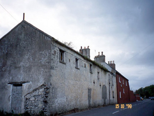 Kent Lodgegates/railings/walls · 1622 yd
 Clogherbrien Church (in ruins)Church · 1.2 mi
 View of WindmillHeritage attraction · 1.7 mi
 Blennerville WindmillHeritage attraction · 1.8 mi
 Tralee Bay Wetlands Eco and Activity ParkNature reserve · 2.3 mi
 Sonny McCarthy MemorialMonument · 2.6 mi
 Pádraig Mac PiaraisMemorial · 2.6 mi
 Site of CastleCastle, unclassified · 2.6 mi
 Tobar na MoltSpring · 3.6 mi
 Knockmichael MountainMountain / peak · 3.8 mi