
What is recorded here
In pasture, on a S-facing slope overlooking a small valley. A U-shaped area (20m E-W; c. 25m N-S) open to S, defined to W by a line of upcast field clearance debris, NW-NE by a curving S-facing stony scarp cut into the rising ground, and E-SE by a low stony rise (Wth c. 3.5m; int. H 0.6m; ext. H c. 0.4m). The curving S-facing scarp (H 1.65m) has a broadly slumped irregular slope with an uneven surface broken by boulders, rocks and the roots of hawthorn bushes. From NE-E it grades into a low stony rise without clearly defined edges. It incorporates loose stones and boulders that are probably the result of field clearance activity and is obscured on its outer edge by dumped farm machinery. The perimeter of the enclosure is densely covered with hawthorn bushes and brambles. According to the landowner, the interior which is level but sunken relative to exterior ground level, was used as a feeding place for cattle and the resulting poached surface and build-up of debris was removed and banked up on the W side of the enclosure. The enclosure is known locally as a 'fort'. A farm track skirts its W side.
The above description is derived from the published 'Archaeological Inventory of County Sligo' compiled by Ursula Egan, Elizabeth Byrne, Mary Sleeman with Sheila Ronan and Connie Murphy (Dublin Stationery Office, 2005).
Date of upload: 18 January 2008
The monument record does not grant public access. Check the route and ask the landowner before entering private land.
- What survives
- Recorded monument
Places near here
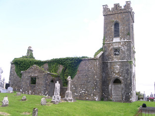 Gorteen Church (Kilfree)church/chapel · 770 yd
 Indicated (1838).Fairy fort / earthen ringfort · 1298 yd
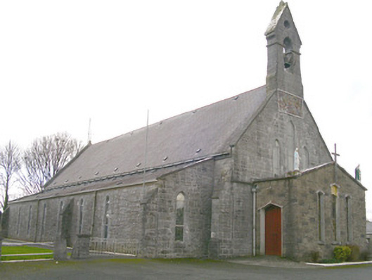 Saint Patrick's Catholic Churchchurch/chapel · 1375 yd
 Enclosure in RathmadderEnclosure · 1543 yd
 Moygara Castle (in Ruins)Bawn · 1.5 mi
 Moygara CastleCastle · 1.5 mi
 Crow IslandIslet · 3.1 mi
 Inch IslandIslet · 3.7 mi
 Castle PointHeadland · 3.8 mi
 Rose PointHeadland · 4.4 mi
 Curlew MountainsMountain / peak · 4.7 mi
 Caves of KeshCave · 5.3 mi
Other information
Photo: Credit not shown in the picture search · Rights wording not checked; contact us if this picture should be removed