What is recorded here
In pasture, on edge of coniferous plantation; on break in lower N-facing slope of Knockafutera in Ballyhoura Mountain range. Depicted as hachured circular enclosure (diam. c. 18m) on 1842 OS 6-inch map; as oval-shaped raised area (c. 18m x c. 15m) on 1903 and 1937 OS 6-inch maps. Levelled; no visible surface trace.
The above description is derived from the published 'Archaeological Inventory of County Cork. Volume 4: North Cork' (Dublin: Stationery Office, 2000). In certain instances the entries have been revised and updated in the light of recent research.
Date of upload/revision: 14 January 2009
The monument record does not grant public access. Check the route and ask the landowner before entering private land.
- What survives
- Recorded monument
Places near here
 BallinaboolaVisitor information · 292 yd
 Cist in BallynaboolaCist · 1125 yd
 Fulacht fia in Garrane (fermoy By.)Fulacht fia · 1142 yd
 Glanmore Househouse · 1370 yd
 Ardskeagh MoatCastle, motte · 1411 yd
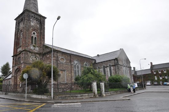 Ardskeagh Church (in Ruins)Church · 1.1 mi
 CarrigeenMountain / peak · 1.4 mi
 Ballymacshaneboy Castle (in ruins)Castle, unclassified · 1.5 mi
 Caher HillMountain / peak · 1.7 mi
 ToberSpring · 3.1 mi
 Lady's WellSpring · 3.2 mi
 Holy Cross CemeteryGraveyard · 3.4 mi