
What is recorded here
Faughart Lower held an enclosure so complete the 1835 map called it a fort, yet no stone or bank remains for a modern hand to touch. The land may have swallowed the boundary or people may have erased it, but the name preserved the shape long after the earth forgot it.
The following description is derived from both the published 'Archaeological Inventory of County Louth' (Dublin: Stationery Office, 1986) and the 'Archaeological Survey of County Louth' (Dublin: Stationery Office, 1991). In certain instances the entries have been revised and updated in the light of recent research.
Date of upload/revision: 17 July 2007
'Fort' shown on 1835 ed. of OS 6-inch map. No visible surface trace.
The monument record does not grant public access. Check the route and ask the landowner before entering private land.
- What survives
- Recorded monument
Places near here
 Battle of FaughartMajor battlefield · 519 yd
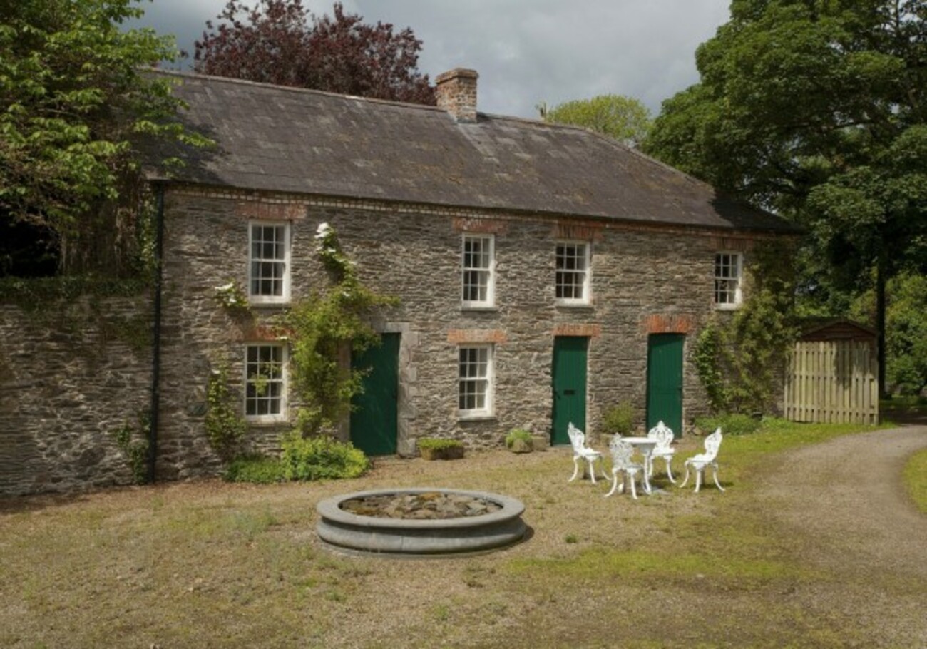 Enclosure in RedcowEnclosure · 845 yd
 Enclosure in AghaboysEnclosure · 918 yd
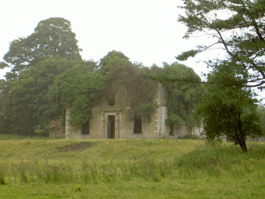 Woodlawnhouse · 976 yd
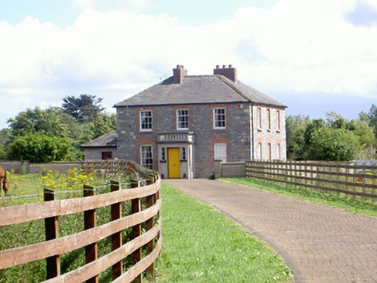 Mount Saint Franceshouse · 1010 yd
 Faughart MoundCastle, motte · 1535 yd
 Raskeagh FortCastle, motte and bailey · 1.3 mi
 MonascreebeMountain / peak · 1.6 mi
 Proleek DolmenArchaeological place · 1.7 mi
 SlievenaboleaMountain / peak · 1.9 mi
 Moyry CastleCastle · 2.1 mi
 KILNASAGGART INSCRIBED PILLAR STONE & CEMETERY with 6 CROSS-CARVED STONES: CELL NA SACART in EdenappaKILNASAGGART INSCRIBED PILLAR STONE & CEMETERY with 6 CROSS-CARVED STONES: CELL NA SACART · 2.3 mi
Other information
Photo: Credit not shown in the picture search · Rights wording not checked; contact us if this picture should be removed