What is recorded here
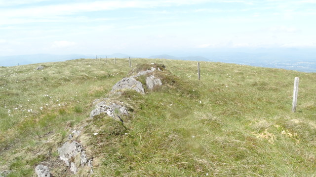
On a level break, within a field system (KE102-074001-). A rectangular area (6.6m NE-SW; 3.4m NW-SE) defined by a partially collapsed drystone wall (T 0.6m; H 1m). A break (Wth 1m) at the centre of the collapsed SE wall may indicate an entrance.
The above description is derived from the published 'Archaeological Inventory of County Kerry. Volume I: South-West Kerry' (Dublin: Stationery Office, 2009). In certain instances the entries have been revised and updated in the light of recent research.
Date of upload: 30 May 2011
The monument record does not grant public access. Check the route and ask the landowner before entering private land.
- What survives
- Recorded monument
Places near here
 IndicatedEnclosure · 47 yd
 Hut site in CrinagortHut site · 273 yd
 Bullaun StoneHeritage attraction · 462 yd
 Famine RuinRuins · 496 yd
 Bonane Heritage ParkMuseum · 696 yd
 Glashagarriv Br.Bridge · 1062 yd
 BeneenMountain / peak · 1.3 mi
 KnocknamanaghMountain / peak · 1.8 mi
 The Priests LeapViewpoint · 3.2 mi
 CaoinkeenCliff · 3.3 mi
 CastleCastle, unclassified · 3.7 mi
 Mucksna Nature ReserveNature reserve · 4.3 mi