
What is recorded here
In tillage. An oval enclosure (dims. c. 63m N-S; c. 72m E-W) identified as a cropmark on OS Ortho satellite imagery, 2005. A field boundary runs around the perimeter from W-N-NNE but appears to respect the monument. There is a ringfort (KK013-001----) c. 220m to the NE and an enclosure (KK013-149----) c. 150m to the ENE.
See attached image from OS Ortho 2005
Compiled by: Jean Farrelly
Date of upload: 2 July 2019
The monument record does not grant public access. Check the route and ask the landowner before entering private land.
- What survives
- Recorded monument
Places near here
 Fairy fort / earthen ringfort in Clomantagh LowerFairy fort / earthen ringfort · 259 yd
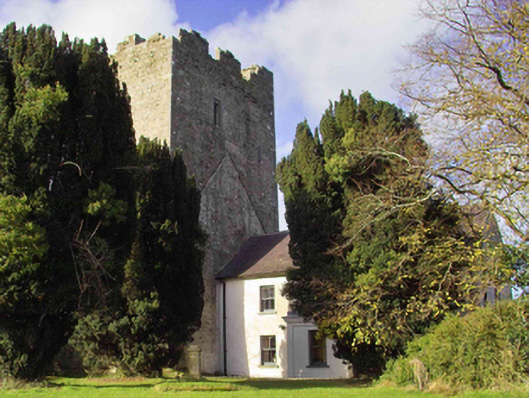 farm housefarm house · 325 yd
 Sheela-na-gig in Clomantagh LowerSheela-na-gig · 358 yd
 CastleCastle, tower house · 360 yd
 Clomantagh Church (in ruins)Church · 449 yd
 Tubbrid Castle (in ruins)Castle, tower house · 1.1 mi
 Clomantagh HillMountain / peak · 1.2 mi
 Kildrinagh WoodForest · 2.3 mi
 John HelyMemorial · 3.0 mi
 DelaneyMemorial · 3.2 mi
 Street fieldArchaeological place · 4.3 mi
 Anker's IslandIsland · 8.2 mi
Other information
Photo: Credit not shown in the picture search · Rights wording not checked; contact us if this picture should be removed