
What is recorded here
An earthen ringfort in Clomantagh Lower holds a 37-metre circular space beside the Clomantagh tower house, its old bank, fosse and outer ridge still marking the shape of a place people learned to avoid or use. The SE-facing slope hides most of the interior, while the northern edge preserves a possible entrance and a living field boundary presses against the monument. That is why it feels less like a dead ruin and like a household threshold: a small world made visible only when walked around, not judged from a distance.
On the brow of a SE-facing slope, with limited views due to rising ground. Clomantagh tower house (KK013-002001-) and bawn (KK013-002002-) are located c. 200m to the SSE. A raised circular area (int. dims. 37m N-S) enclosed by a denuded earth and stone bank (overall Wth c. 8m; int. H 0.95m; ext. H 1.7m), a narrow fosse (Wth 2.5m) and low ext. bank (ext. H 0.5m). The inner bank is only visible from NNE-E, elsewhere the ringfort is defined by scarp. The fosse is infilled from SE-S-SW. There is a possible entrance to the N. A field boundary runs N-S up to inner bank of the monument in the NW and SW sectors.
Compiled by: Jean Farrelly
Date of upload: 17 July 2019
The monument record does not grant public access. Check the route and ask the landowner before entering private land.
- What survives
- Recorded monument
Places near here
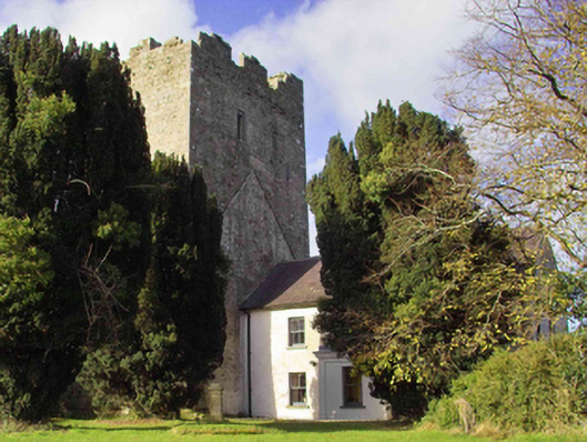 farm housefarm house · 221 yd
 Enclosure in Clomantagh LowerEnclosure · 259 yd
 CastleCastle, tower house · 264 yd
 Sheela-na-gig in Clomantagh LowerSheela-na-gig · 267 yd
 Clomantagh Church (in ruins)Church · 411 yd
 Killoshulan Castle (ruin)Castle · 1.1 mi
 Clomantagh HillMountain / peak · 1.2 mi
 Kildrinagh WoodForest · 2.4 mi
 John HelyMemorial · 3.1 mi
 DelaneyMemorial · 3.2 mi
 Street fieldArchaeological place · 4.3 mi
 Anker's IslandIsland · 8.0 mi
Other information
Photo: Credit not shown in the picture search · Rights wording not checked; contact us if this picture should be removed