
What is recorded here
On a natural flat-topped hillock on the S bank of a small stream with good views in all directions. Shown as a large oval enclosure (diam. c. 116m NE-SW; c. 80m NW-SE) on the 1st (1839) and 2nd (1899) edition of the OS 6-inch map. Listed in the SMR (1987) as 'Earthwork' and in the RMP (1996) as 'Enclosure, Site'. Levelled during land reclamation in 1958 (OPW Correspondence). Not visible at ground level.
Compiled by: Mary Tunney
Date of revised upload: 7 September 2015
The monument record does not grant public access. Check the route and ask the landowner before entering private land.
- What survives
- Recorded monument
Places near here
 Kyleaderry Church (in Ruins)Church · 628 yd
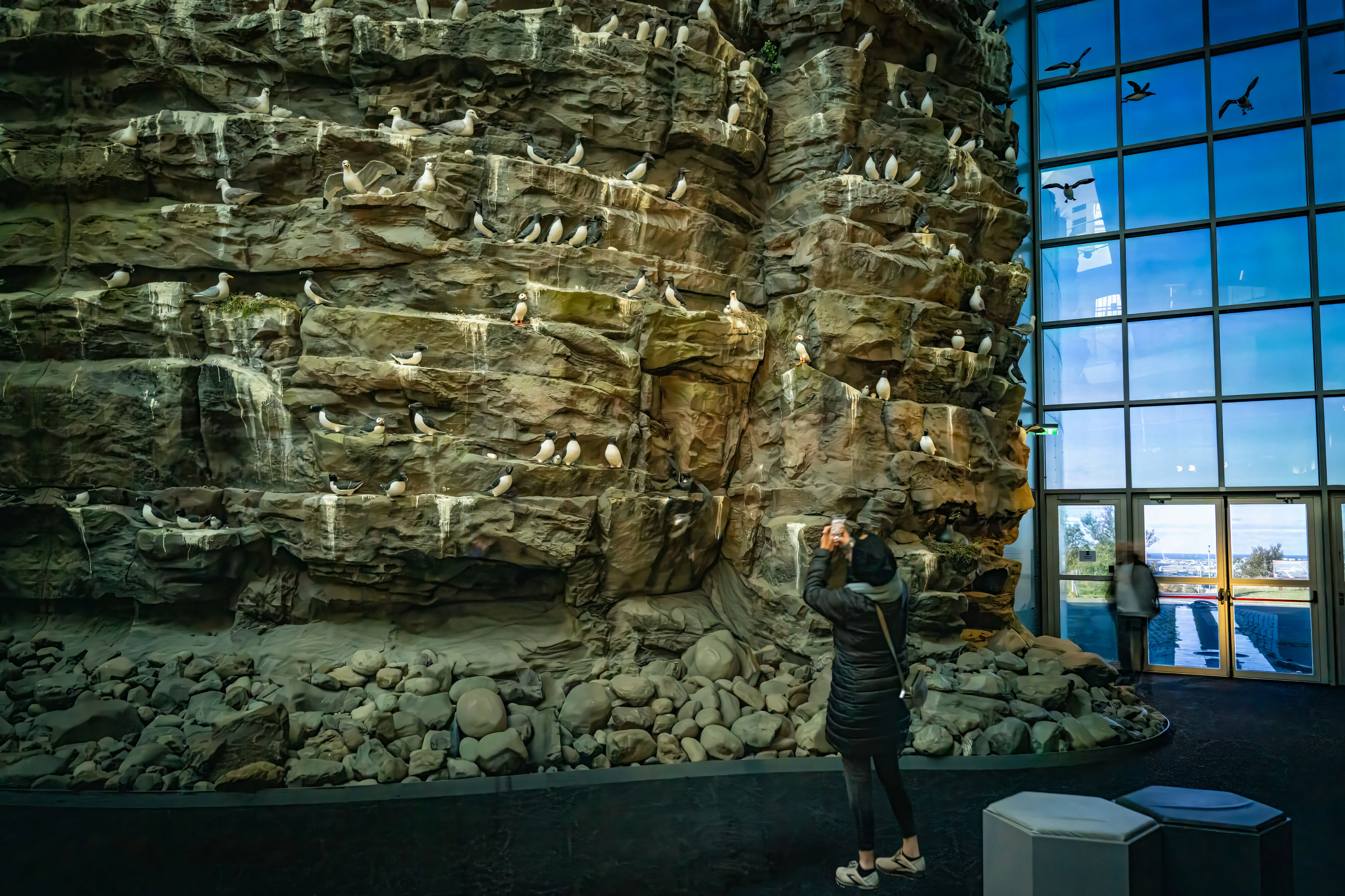 Enclosure in RossdarraghEnclosure · 716 yd
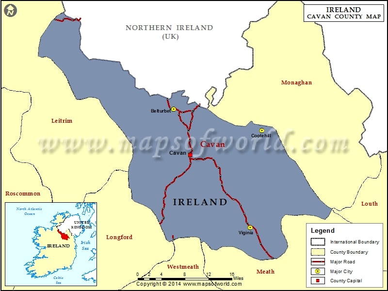 IndicatedEnclosure · 865 yd
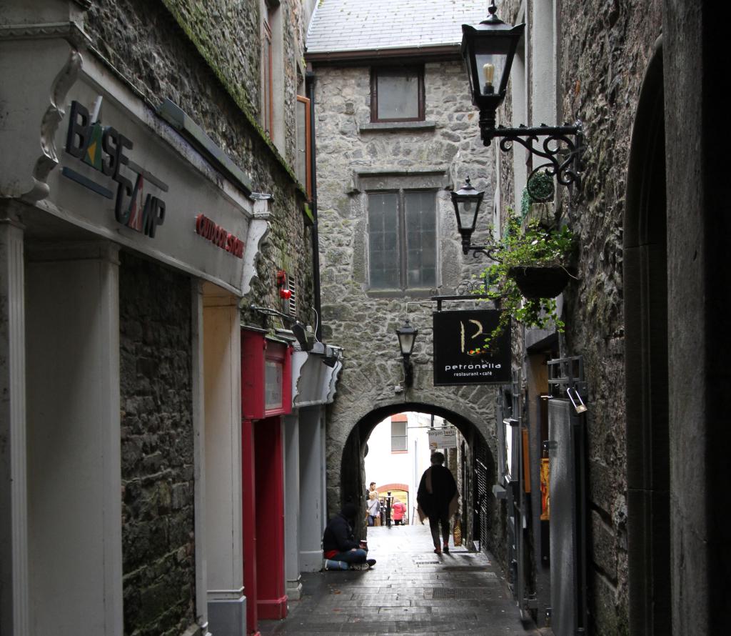 Bawn in WhiteswallBawn · 1271 yd
 Cody's CastleCastle · 1397 yd
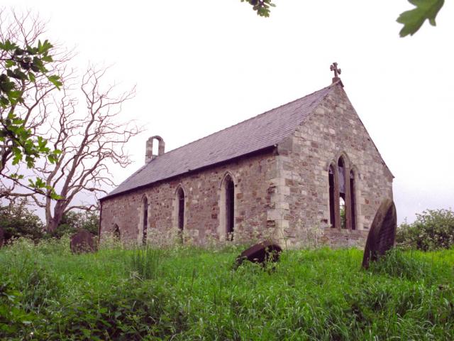 Church in WhiteswallChurch · 1.0 mi
 Cnoc SeanrathaMemorial · 1.2 mi
 Street fieldArchaeological place · 4.0 mi
 Clonmeen WoodWood · 4.0 mi
 Tullow HillMountain / peak · 4.8 mi
 DelaneyMemorial · 4.9 mi
 College HillMountain / peak · 10.0 mi
Other information
Photo: Credit not shown in the picture search · Rights wording not checked; contact us if this picture should be removed