What is recorded here
Carrig Island in County Kerry holds a semi-circular enclosure within its larger ecclesiastical site. A low earthen bank still marks the curve, while a later field boundary cuts across the east and swallows the holy well at the north end. The place has changed from sacred ground to farmed terrain, yet the old shape remains visible beneath the new lines.
Semi-circular shaped area enclosed by low earthen bank within the NW quadrant of the ecclesiastical enclosure (KE002-008003-) transected at E by post-1700 field boundary (Toal 1995, 208, no. 830). Holy Well (KE002-008002-) incorporated into field boundary at N end of enclosure.
See attached plan of Carrig Island ecclesiastical enclosure taken from North Kerry Survey
Compiled by: Caimin O'Brien
Date of upload: 7 January 2022
The monument record does not grant public access. Check the route and ask the landowner before entering private land.
- What survives
- Recorded monument
Places near here
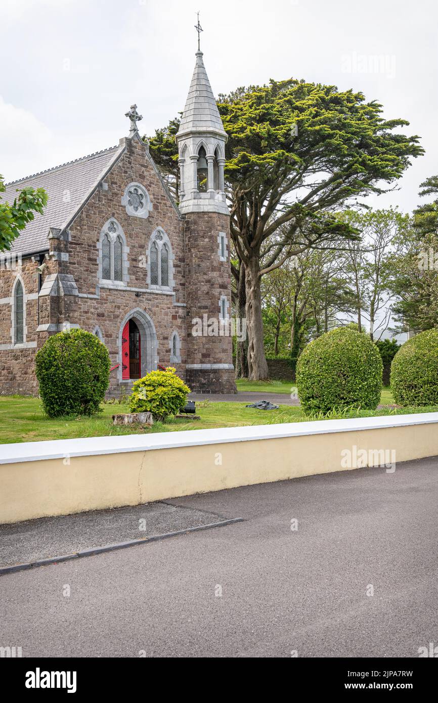 Ecclesiastical enclosure in Carrig IslandEcclesiastical enclosure · 55 yd
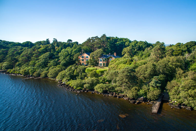 Hut site in Carrig IslandHut site · 78 yd
 Carrig IslandIsland · 324 yd
 Carrig Point BatteryRuins · 662 yd
 Church (in ruins)Church · 840 yd
 CastleCastle, ringwork · 882 yd
 Carrigafoyle Cas. (in ruins)Castle, tower house · 915 yd
 Siege of Carrigafoyle Castlesiege · 970 yd
 Fawley's PointHeadland · 2.5 mi
 Scattery IslandIsland · 2.5 mi
 Scattery Island Visitor CentreVisitor information · 2.7 mi
 Cusheen PointHeadland · 2.9 mi
Other information
Photo: Credit not shown in the picture search · Rights wording not checked; contact us if this picture should be removed