What is recorded here
In heather-covered rough grazing, at the centre of a flat-topped spur in the Bricklieve Mountains. Breaks in the surrounding high ridges give views ENE to Lough Arrow, N to Carrowkeel as well as to the S. A circular area (diam. c. 30m) defined by a low stone wall (Wth c. 1.8m; H 0.5m), overgrown with heather. There is a cairn (SL040-105----) in the interior, off-centre to N. A ruined field boundary wall (Wth 1.5m; H 0.25m), visible as a linear heather-covered rise, bisects the interior on an E-W axis and clips the S edge of the cairn. The ground drops steeply into an upland valley to N and E and a narrow ravine separates the spur from rising ground to W where a cashel (SL040-154----) is located c. 50m to WSW.
The above description is derived from the published 'Archaeological Inventory of County Sligo' compiled by Ursula Egan, Elizabeth Byrne, Mary Sleeman with Sheila Ronan and Connie Murphy (Dublin Stationery Office, 2005).
Date of upload: 18 January 2008
The monument record does not grant public access. Check the route and ask the landowner before entering private land.
- What survives
- Recorded monument
Places near here
 CashelFairy fort / stone ringfort · 96 yd
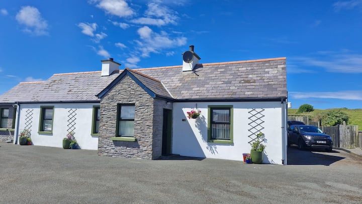 Not inidcatedEnclosure · 553 yd
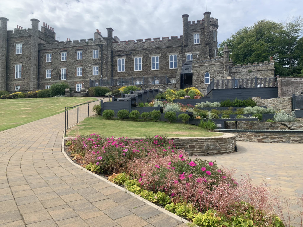 Nunnery (in Ruins)Religious house, unclassified · 1122 yd
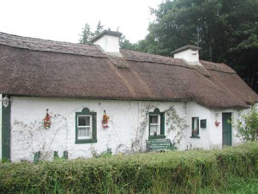 farm housefarm house · 1631 yd
 Carricknahorna EastMountain / peak · 1674 yd
 Ballinafad CastleCastle · 1.6 mi
 Bricklieve MountainsMountain / peak · 1.6 mi
 Treanscrabbagh caveCave · 1.8 mi
 Muck IslandIslet · 2.7 mi
 MoatCastle, motte · 3.1 mi
 Annaghgowla IslandIslet · 3.2 mi
 Battle of the Curlew Mountains (1599)Battlefield · 3.4 mi