What is recorded here
On top of and towards the E end of an E-W ridge in an area of cutaway bog and rough pasture. A circular enclosure (diam. c 30m) defined by a narrow overgrown wall visible on OSi orthophotography (MapGenie 2013-2018). ‘Caherreagh’ cashel (CL008-092----) lies c. 118m to the E.
Compiled by: Mary Tunney
Date of upload: 29 March 2023
The monument record does not grant public access. Check the route and ask the landowner before entering private land.
- What survives
- Recorded monument
Places near here
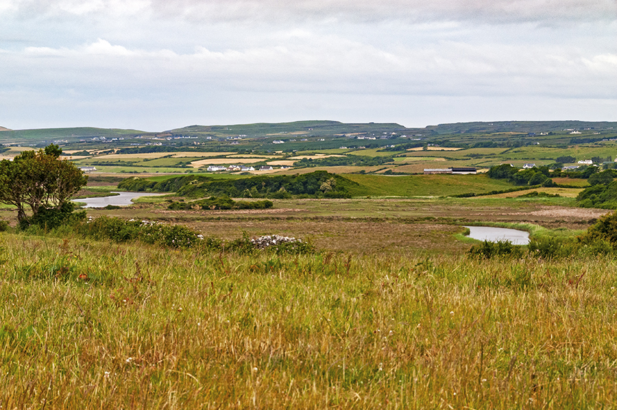 CaherreaghFairy fort / stone ringfort · 169 yd
 IndicatedFairy fort / earthen ringfort · 1.1 mi
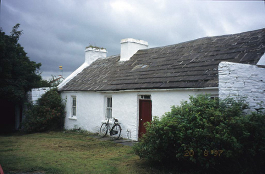 farm housefarm house · 1.2 mi
 Spectacle Bridgebridge · 1.5 mi
 Smithstown Castle (in ruins)Castle, tower house · 1.7 mi
 Site of Tullamore CastleCastle, unclassified · 2.2 mi
 Ballyteigue Nature ReserveNature reserve · 2.2 mi
 Doolin Road SinkCave · 2.4 mi
 St. Catherine's OneCave · 2.5 mi
 Doolin Cave Visitor CentreHeritage attraction · 3.1 mi
 High CrossHeritage attraction · 3.7 mi
 Burren Centre KilfenoraVisitor information · 3.8 mi