
What is recorded here
On the N end of a ridge running NE-SW. Identified on a Grand Jury Map, 1812-24 as an enclosure. A house has been built at this location.
Compiled by: Jean Farrelly
Date of upload: 27 September 2021
The monument record does not grant public access. Check the route and ask the landowner before entering private land.
- What survives
- Recorded monument
Places near here
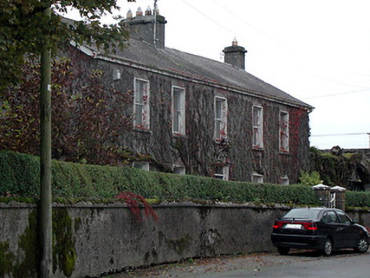 Bennettsbridge Househouse · 495 yd
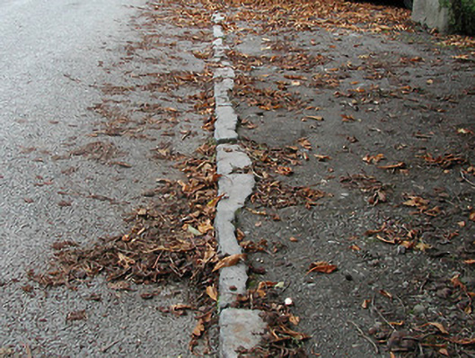 cobbles/flags/paving/kerbingcobbles/flags/paving/kerbing · 505 yd
 IndicatedEnclosure · 939 yd
 Time CapsuleMemorial · 1004 yd
 Black WalnutBlack Walnut · 1056 yd
 Enclosure in Kilree (knocktopher By.)Enclosure · 1388 yd
 MarlowWood · 1685 yd
 Castle (in ruins)Castle, unclassified · 1694 yd
 O'Gorman's Lane LoopWalking route · 1728 yd
 Tower (in ruins)Bawn · 1.6 mi
 Kilkenny AirsoftHeritage attraction · 1.8 mi
 Danesfort CrossMemorial · 1.9 mi
Other information
Photo: Credit not shown in the picture search · Rights wording not checked; contact us if this picture should be removed