
What is recorded here
A curvilinear enclosure identified as a cropmark on an aerial photograph (CUCAP BGG014, 16 July 1971). It consists of an inner enclosure (diam. c. 50m) with an inner curve on the E side, possibly indicating an earlier enclosure which was subsequently extended. The inner enclosure is within a bivallate outer enclosure (overall diam. c. 100m), formed by two closely concentric fosses from S-W-N. Only one outer fosse is evident in the E quadrant. A field boundary, indicated on the 6-inch OS maps (1839 and 1947 revision) but since removed, runs NNW-SSE though the W side of the outer enclosure and another field boundary, visible on satellite imagery (Digitalglobe, viewed 23 August 2021), runs ENE-WSW through the monument, just S of centre.
KK023-062001-_01 aerial photograph (CUCAP BGG014, 16 July 1971)
Compiled by: Jean Farrelly
Date of upload: 23 August 2021
The monument record does not grant public access. Check the route and ask the landowner before entering private land.
- What survives
- Recorded monument
Places near here
 IndicatedEnclosure · 573 yd
 Black WalnutBlack Walnut · 874 yd
 Enclosure in Kilree (knocktopher By.)Enclosure · 937 yd
 Burnchurch Housegates/railings/walls · 961 yd
 Welsh'sForest · 1517 yd
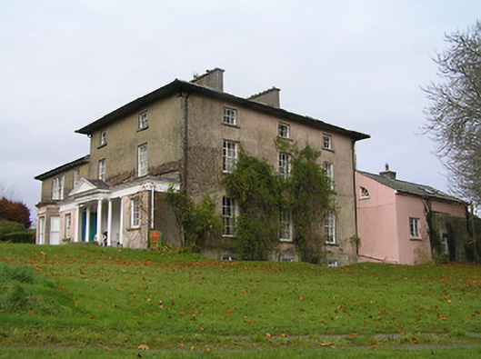 Maiden Hallcountry house · 1721 yd
 Castle (in ruins)Castle, unclassified · 1.0 mi
 Danesfort CrossMemorial · 1.1 mi
 Tower (in ruins)Bawn · 1.2 mi
 Time CapsuleMemorial · 1.4 mi
 O'Gorman's Lane LoopWalking route · 1.8 mi
 Ballyda Holy WellSpring · 2.2 mi
Other information
Photo: Credit not shown in the picture search · Rights wording not checked; contact us if this picture should be removed