What is recorded here
On a rise in otherwise low-lying marshy grassland, close to the E bank of the Kilcrow River. This
roughly rectangular enclosure (NW-SE 16.5m; NE-SW 15.2m), much obscured by overgrowth, is defined by a scarp and external fosse. A drainage ditch has been dug into the fosse at NE.
Possibly a small moated site. St. Corban's church (GA117-047001-) lies 150m to the SW on the opposite bank of the river.
Compiled by: Galway Archaeological Survey, UCG
Date of upload: 13 February 2019
The monument record does not grant public access. Check the route and ask the landowner before entering private land.
- What survives
- Recorded monument
Places near here
 St. Corbans ChurchReligious house, Dominican friars · 176 yd
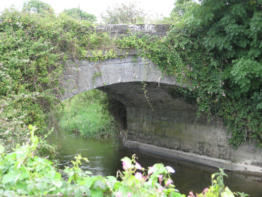 Newbridge Bridgebridge · 1170 yd
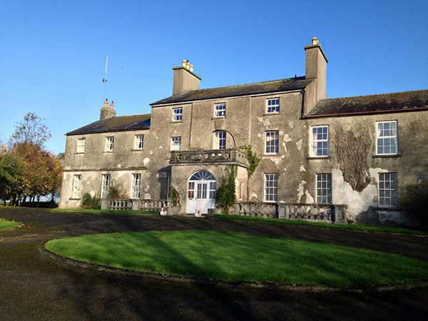 Site of Flower Hill Ho.House, 18th/19th century · 1189 yd
 IndicatedFairy fort / earthen ringfort · 1234 yd
 Site of CastleCastle, unclassified · 1.0 mi
 Church HillMountain / peak · 1.5 mi
 Pallas CastleCastle, tower house · 2.4 mi
 Bog WoodForest · 2.5 mi
 Oak WoodForest · 2.5 mi
 Stonyisland BayBay · 3.3 mi
 Friar's IslandIslet · 3.8 mi
 Long IslandsIslet · 3.8 mi