What is recorded here
Situated on the W-facing slope of a low N-S ridge in undulating countryside. Depicted as a circular enclosure on the 1st edition OS 6-inch map. Only the E half of the site survives consisting of a slightly raised area (diam. 39m N-S; 14m E-W) enclosed by an earth and stone bank (Wth 2m; ext. H 1.5m; int. H 0.65m) and outer fosse (Wth 4.2m; D 1.2m). The site was greatly altered during a nineteenth-century drainage scheme. A field fence and drain now form the W boundary of the site with no visible remains of the enclosure in the field immediately to the W.
The above description is derived from 'The Archaeological Inventory of County Tipperary. Vol. 1 - North Tipperary' compiled by Jean Farrelly and Caimin O'Brien (Dublin: Stationery Office, 2002). In certain instances the entries have been revised and updated in the light of recent research.
Date of upload/revision: 22 September 2008
The monument record does not grant public access. Check the route and ask the landowner before entering private land.
- What survives
- Recorded monument
Places near here
 Ballybeg CastleCastle · 855 yd
 Liskeveen Housedemesne walls/gates/railings · 1118 yd
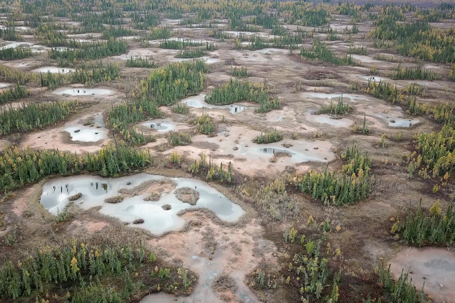 PlatformPlatform, peatland · 1141 yd
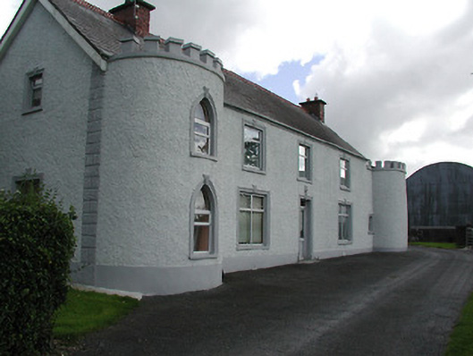 Castle Viewhouse · 1163 yd
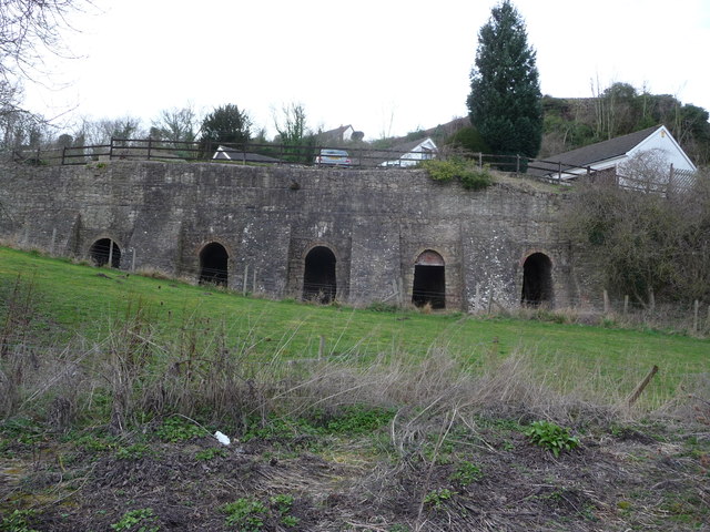 Enclosure in LiskeveenEnclosure · 1398 yd
 Liskeveen Castle (in ruins)Castle, tower house · 1488 yd
 Sweet ChestnutSweet Chestnut · 1722 yd
 Derrynaflan TrailHeritage attraction · 1.5 mi
 Horse and JockeyVisitor information · 1.6 mi
 Gobban Saer's GraveArchaeological place · 2.0 mi
 Gift Horse GalleryGallery · 2.1 mi
 European ashEuropean ash · 2.3 mi