
What is recorded here
In tillage. Not indicated on the 1st (1839) ed. OS 6-inch map, but shown on the 1948 revision as an oval enclosure (dims. c. 40m N-S; c. 53m E-W), with a field boundary running N-S to E of centre, and other field boundaries enclosing the outer perimeter of the W portion and incorporating the outer perimeter in the E portion. The monument was subsequently levelled, though the N-S field boundary and the field boundary running roughly E-W immediately to the N, still remain. The W portion of the monument is visible as an angular cropmark on an aerial photograph (CUCAP BGG006, 16 July 1971). Three other enclosures, also visible as cropmarks in this aerial photograph are KK027-008---- and KK027-087---- which are located c. 40m and c. 110m to the S respectively and KK027-009---- which lies c. 190m to the SE.
See attached:
KK027-007----_01 aerial photograph (CUCAP BGG006, 16 July 1971)
Compiled by: Jean Farrelly
Date of upload: 4 July 2022
The monument record does not grant public access. Check the route and ask the landowner before entering private land.
- What survives
- Recorded monument
Places near here
 IndicatedEnclosure · 231 yd
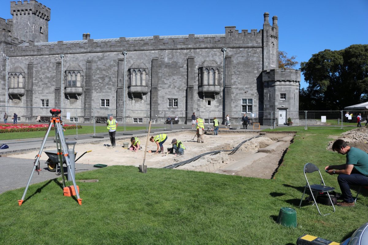 Enclosure in AnnamultEnclosure · 363 yd
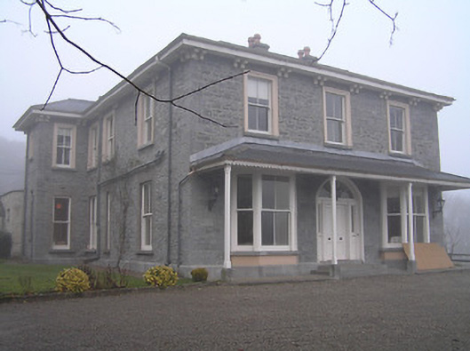 Crohana Housecountry house · 890 yd
 Annamult Castle (in ruins)Castle, tower house · 1015 yd
 Church (in ruins)Church · 1024 yd
 Tower (in ruins)Bawn · 1053 yd
 Welsh'sForest · 1661 yd
 MarlowWood · 1.3 mi
 Petty Sessions Courthouse 1839Memorial · 1.8 mi
 Police Barracks 1839Memorial · 1.8 mi
 Ballyda Holy WellSpring · 2.0 mi
 Kells Augustinian PrioryHeritage attraction · 2.9 mi
Other information
Photo: Credit not shown in the picture search · Rights wording not checked; contact us if this picture should be removed