What is recorded here
Enaghan still holds the rath, a marked earthwork in County Fermanagh where human hands shaped the land before written memory. It is not a polished museum piece or a distant myth; it is a scheduled ruin that invites you to imagine the people who lived beside it. The official record preserves the shape, while imagination completes the life.
The official Northern Ireland record identifies this as RATH. Recorded period: E.CHRIST.. Recorded protection: Scheduled. The official map point was placed at the centre of the recorded archaeological site from the source map reference.
The monument record does not grant public access. Check the route and ask the landowner before entering private land.
- What survives
- Recorded monument
Places near here
 A.P. SITEA.P. SITE, circular enclosure · 856 yd
 Monea CastleHeritage attraction · 905 yd
 ENCLOSURE in RooskyENCLOSURE · 1372 yd
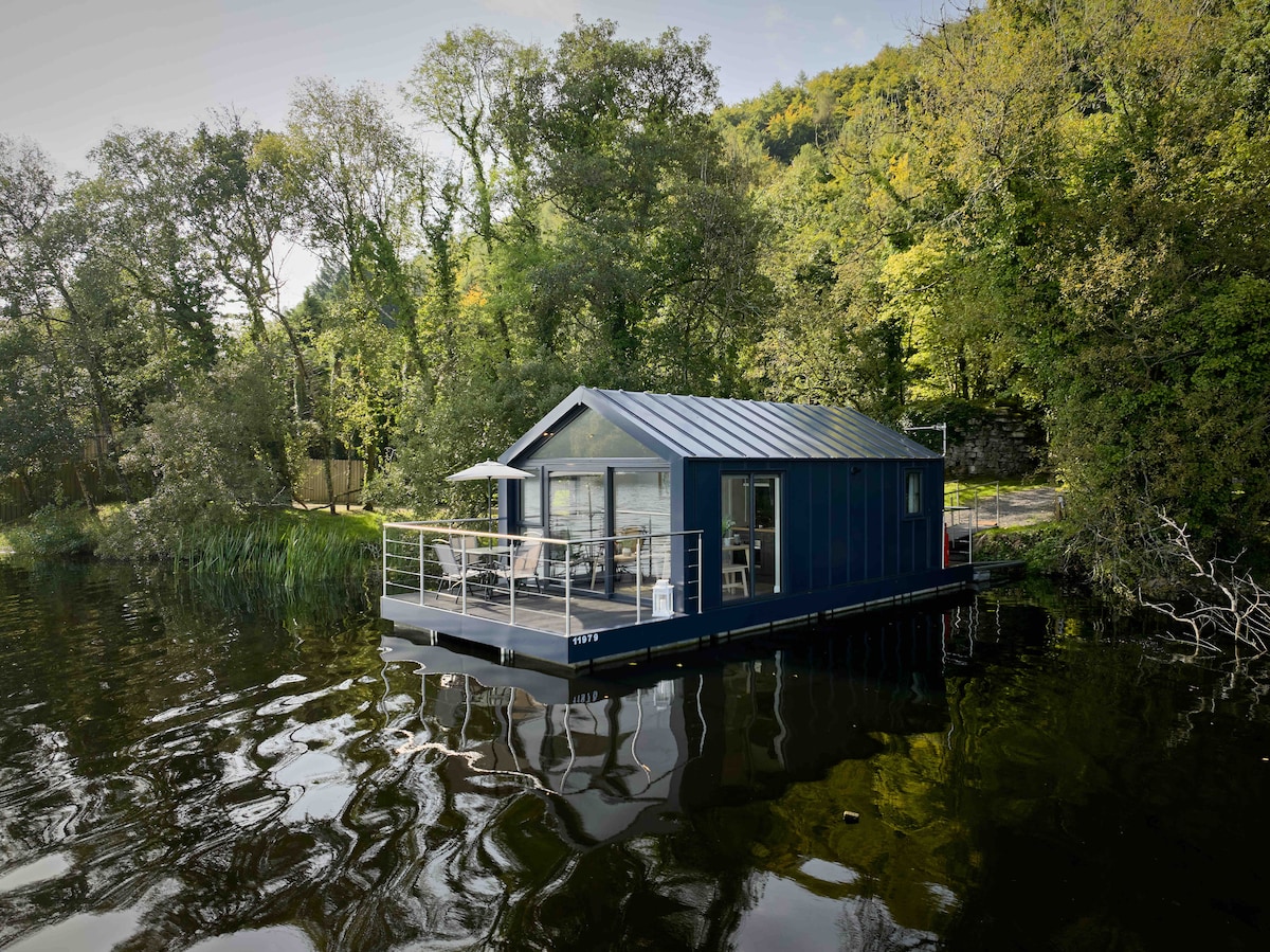 Carrickreagh WoodWood · 1.1 mi
 Gate LodgeGates/ Screens/ Lodges · 1.2 mi
 Inish LougherIsland · 1.4 mi
 Inish FovarIsland · 1.7 mi
 FORTIFIED HOUSE (unlocated) in DrumbooryFORTIFIED HOUSE (unlocated) · 2.1 mi
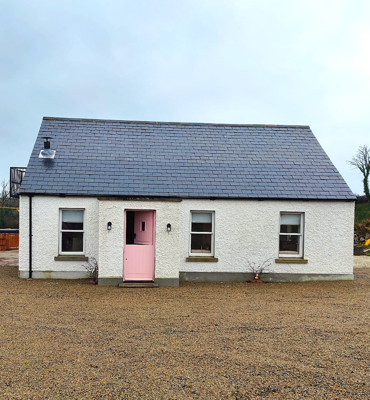 C17TH HOUSE & BAWN (unlocated) in CosbystownC17TH HOUSE & BAWN (unlocated) · 2.4 mi
 Inishmacsaint Church and Cross in InishmacsaintInishmacsaint Church and Cross · 2.7 mi
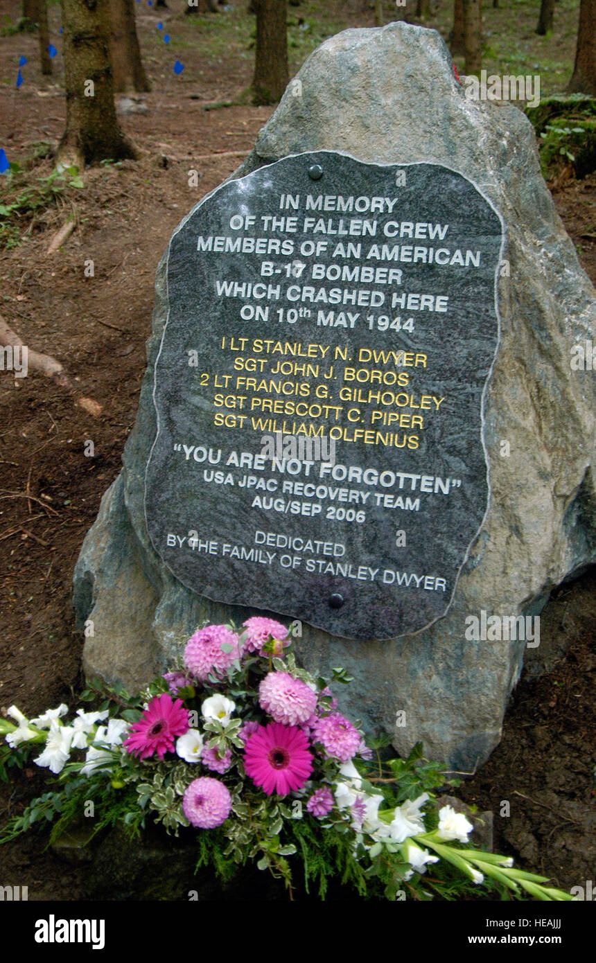 B17 Crash MemorialMonument · 3.2 mi
 Tullycarbry ForestForest · 3.4 mi