What is recorded here
Marked as a Danish fort on a Bernard Scalé map of 1774 (NLI: ms. 7217, 16) and as a circular embanked enclosure on the Grand Jury map of Co. Waterford dated 1819 (NLI: 16 J 4). It is also depicted as a circular embanked enclosure (ext. diam. c. 60m) on the 1840 and 1927 eds. of the OS 6-inch maps. It is situated on flat ground in a slight basin. This is a rectangular grass-covered area (dims. 54m NW-SE; 53m NE-SW) defined by the remains of a moat (Wth 5-12m; D c. 0.2m) except at NE where there is a slight scarp.
The above description is derived from the published 'Archaeological Inventory of County Waterford' (Dublin: Stationery Office, 1999). In certain instances the entries have been revised and updated in the light of recent research.
Revised by: Michael Moore
Date of upload: 19 October 2011
The monument record does not grant public access. Check the route and ask the landowner before entering private land.
- What survives
- Recorded monument
Places near here
 Enclosure in GarrybrittasEnclosure · 819 yd
 Ballygally Housegate lodge · 1259 yd
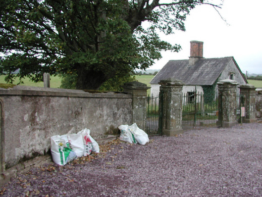 Glenbeg Housegate lodge · 1397 yd
 Enclosure in Glen Beg (decies Without Drum By.)Enclosure · 1718 yd
 Tallow HillMountain / peak · 1.6 mi
 Lisfinny CastleCastle · 1.6 mi
 Sheanmore Castle (in ruins)Castle, tower house · 1.9 mi
 Ballysaggartmore TowersHeritage attraction · 2.8 mi
 Lismore Castlefarm house · 3.4 mi
 Graveyard in Curraheen (kinnatalloon By.)Graveyard · 3.6 mi
 Cottage IslandIslet · 3.7 mi
 Mocollop Picnic SitePicnic place · 3.7 mi