What is recorded here
Egmont holds a vanished ringfort, its forty-metre circle reduced to a faint cropmark and two neighbour forts nearby. The land remembers shape long after people stop naming it. Perhaps children once ran the buried bank while adults forgot it existed, turning a defensive home into a temporary game. Forgetting does not erase; it redirects attention elsewhere.
Cropmark of levelled bank and wide external fosse of circular enclosure (diam. c. 40m) visible in aerial photograph (CASAP, July 1989). Linear cropmarks, possibly of levelled field fences, in same field. Levelled ringforts (CO016-054---; CO016-053---) c. 50m to N and c. 150m to WSW respectively.
The above description is derived from the published 'Archaeological Inventory of County Cork. Volume 4: North Cork' (Dublin: Stationery Office, 2000). In certain instances the entries have been revised and updated in the light of recent research.
Date of upload/revision: 14 January 2009
The monument record does not grant public access. Check the route and ask the landowner before entering private land.
- What survives
- Recorded monument
Places near here
 Grave YardGraveyard · 224 yd
 Market House Market Housemarket house · 603 yd
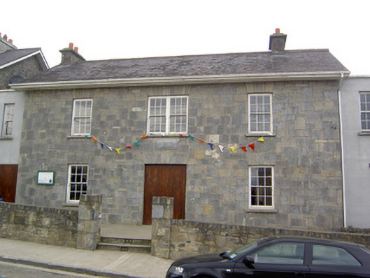 Community Centreschool · 613 yd
 Churchtown Horse Racing HeritageMonument · 662 yd
 Windmill HillMountain / peak · 1682 yd
 Churchtown TrailsVisitor information · 1.2 mi
 Ballyhoura WayWalking route · 1.3 mi
 Castle (Site of)Castle, unclassified · 1.5 mi
 CarrigadoonCastle, unclassified · 1.7 mi
 Battle of LiscarrollMajor battlefield · 2.8 mi
 Lady's WellSpring · 2.8 mi
 Buttevant Rail DisasterMemorial · 3.1 mi