What is recorded here
Island Hill in County Clare still carries a faint circular scar around its church and graveyard, though grass and time have nearly erased the ditch and bank. The enclosure measured about 110 metres across, large enough to set the sacred place apart from the poor pastureland without walls or gates. It may have marked a boundary people could see at once, a round line drawing the eye inward toward prayer and burial. What is left feels less like ruin than like a suggestion, as if the hill itself remembers the shape once drawn around it.
On a prominent hill, named Island Hill on the OS maps, in undulating poor pastureland. This ecclesiastical enclosure (diam. c. 110m), was identified by Leo Swan during the course of aerial reconnaissance and he described it as ‘the indistinct traces of a large circular fosse or ditch, with a low, inner bank now virtually obliterated’ (Swan 1991, 62-3). It surrounded a church (CL016-024002-) and graveyard (CL016-024003-). On inspection in May 1999 all that was visible on the ground was berm (L 35m; Wth 3.5m) curving around the hill from SW to W, c. 20m from the graveyard wall. (Swan 1991, 112, Pl. 6.26)
Compiled by: Olive Alcock and Lynda McCormack
Date of upload: 22 April 2022
The monument record does not grant public access. Check the route and ask the landowner before entering private land.
- What survives
- Recorded monument
Places near here
 Kiltonaghty Church (in ruins)Church · 3 yd
 Enclosure in Clogher (corcomroe By.)Enclosure · 678 yd
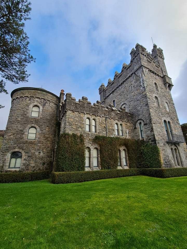 Tullagh Castle (in ruins)Castle, unclassified · 1231 yd
 LisketFairy fort / earthen ringfort · 1574 yd
 Saint Attracta's Catholic Churchchurch/chapel · 1.0 mi
 Caherminnaun Castle (in ruins)Castle, unclassified · 1.3 mi
 Burren Centre KilfenoraVisitor information · 1.8 mi
 High CrossHeritage attraction · 1.8 mi
 Fergus River CaveCave · 2.9 mi
 Cave of the Wild HorsesCave · 4.6 mi
 European ashEuropean ash · 4.8 mi
 Ballyteigue Nature ReserveNature reserve · 5.0 mi