What is recorded here
Located on the N side of a graveyard (MA033-001002-).
The drystone enclosing wall (Wth 0.9m; ext. H 0.9m) on the N side of the graveyard, overlies an grass-covered earthen bank (ext. H 0.4m), which projects 2.2m to N from beneath the graveyard wall. The earthen bank may be the remains of an ecclesiastical enclosure, perhaps contemporary an early phase of religious foundation at this location or with the current Romanesque church (MA033-001001-).
Compiled by: Jane O'Shaughnessy
Date of upload: 19 June 2018
The monument record does not grant public access. Check the route and ask the landowner before entering private land.
- What survives
- Recorded monument
Places near here
 Fallmore ChurchChurch · 21 yd
 St. Deriblas WellHoly well · 399 yd
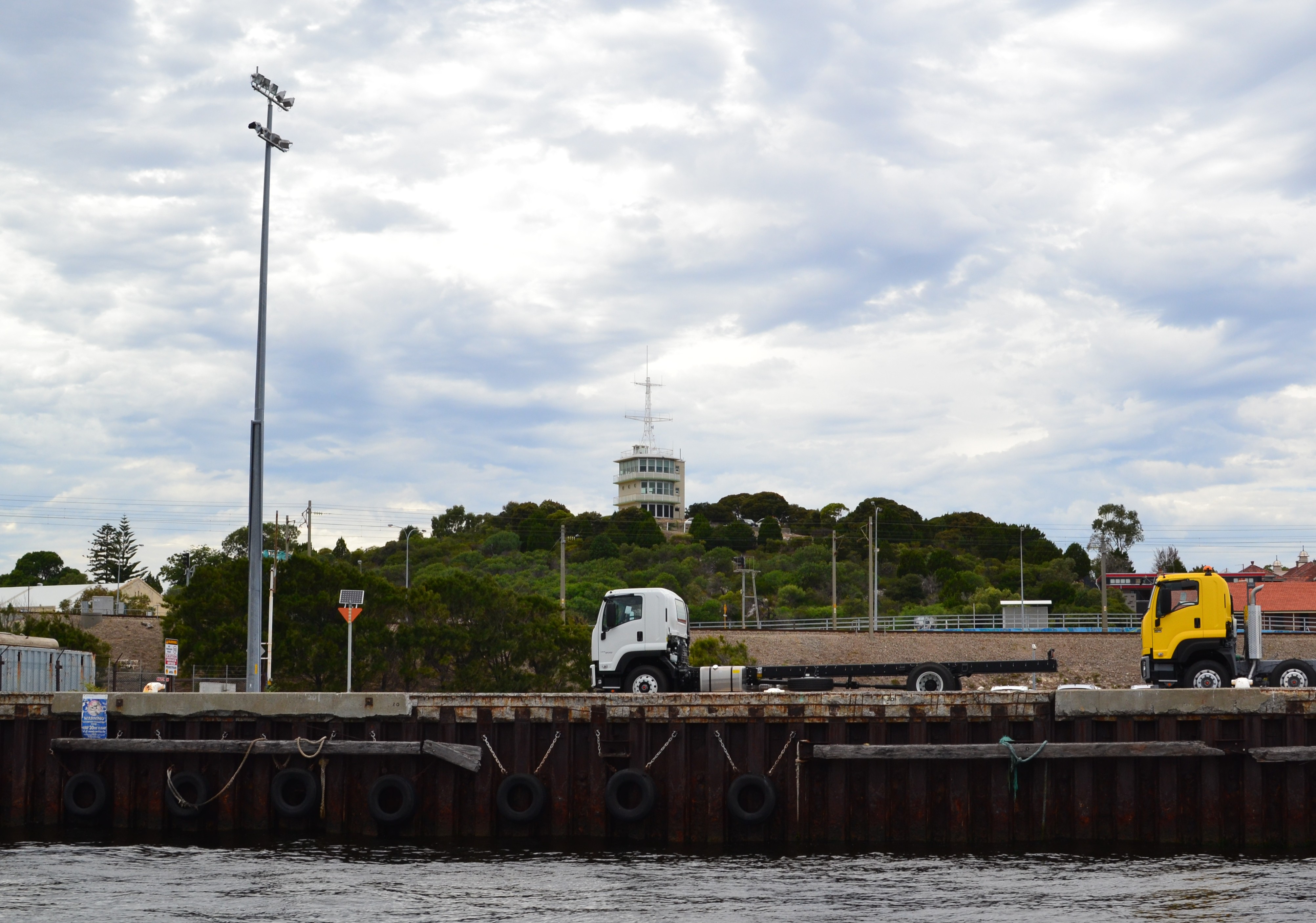 Termon Hill Signal StationRuins · 1279 yd
 Léim an ReitheIslet · 1.0 mi
 TermonEcclesiastical site · 1.1 mi
 Termon BeachBeach / strand · 1.4 mi
 CaolaighIslet · 1.9 mi
 Trá Mullach RuaBeach / strand · 3.3 mi
 Site of Redmond Barretts CastleCastle, unclassified · 3.4 mi
 Ceann FionnaltaHeadland · 4.7 mi
 Barranagh Castle in RuinsCastle, unclassified · 5.4 mi
 GubacregganmoreHeadland · 5.5 mi