What is recorded here
In grassland on E shoreline of Lough Derravaragh. Cropmark of semi-circular shaped area (diam. c. 32m) defined by a ditch with open area to SW visible on Digital Globe orthoimage taken between 2011-13. Depicted a raised circular-shaped area defined by a scarp on OSi 25 inch map.
Compiled by: Caimin O'Brien
Date of upload: 21 August 2023
The monument record does not grant public access. Check the route and ask the landowner before entering private land.
- What survives
- Recorded monument
Places near here
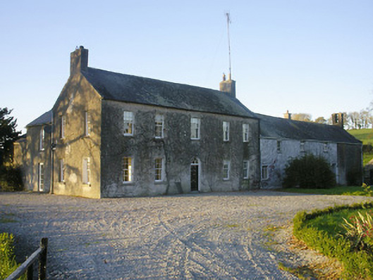 Streamstown Househouse · 534 yd
 OutlinedFairy fort / earthen ringfort · 669 yd
 KnockeyonMountain / peak · 1308 yd
 ChapelChapel · 1335 yd
 Mortimer's CastleArchaeological place · 1.8 mi
 Bawn in KiltoomBawn · 2.5 mi
 Bridge Memorial (Kenna)Memorial · 3.4 mi
 European BeechEuropean Beech · 3.8 mi
 Silver FirSilver Fir · 3.9 mi
 South East GateHeritage attraction · 4.9 mi
 St Feichin's MillHeritage attraction · 4.9 mi