What is recorded here
Situated on a N-S ridge in undulating countryside with a nearby ringfort (TN036-040) to the N. A three-storey tower house (TN036-041001), which originally stood higher, built with coursed rubble stone with prominent batter. The earthworks to the W and N of the tower house appear to be the wall-footings of a bawn wall (TN036-041003) and a rectangular building (ext. dims. 13m N-S; 15.5m E-W) respectively.
The above description is derived from 'The Archaeological Inventory of County Tipperary. Vol. 1 - North Tipperary' compiled by Jean Farrelly and Caimin O'Brien (Dublin: Stationery Office, 2002). In certain instances the entries have been revised and updated in the light of recent research.
Date of upload/revision: 22 September 2008
The monument record does not grant public access. Check the route and ask the landowner before entering private land.
- What survives
- Recorded monument
Places near here
 Castle (in Ruins)Bawn · 11 yd
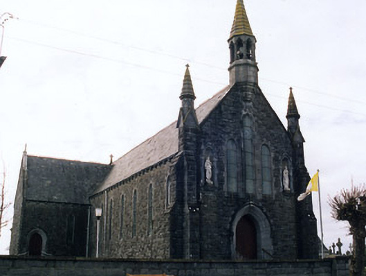 Saint Mary's Catholic Churchchurch/chapel · 1389 yd
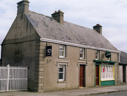 Mullanyhouse · 1405 yd
 Enclosure in Castletown (moyne Par.)Enclosure · 1.2 mi
 Bawn in Castletown (moyne Par.)Bawn · 1.4 mi
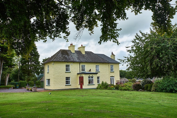 Enclosure in LisdonowleyEnclosure · 1.5 mi
 St. Mary's Famine and War MuseumMuseum · 4.5 mi
 Famine & War MuseumMuseum · 4.6 mi
 European ashEuropean ash · 4.8 mi
 Byrnes's WoodsForest · 5.1 mi
 Horse and JockeyVisitor information · 7.8 mi
 Gobban Saer's GraveArchaeological place · 8.6 mi